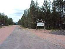
Särna
Särna is a locality situated in Älvdalen Municipality, Dalarna County, Sweden with 719 inhabitants in 2010.[1]
Särna | |
|---|---|
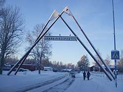 The road entering Särna | |
 Särna 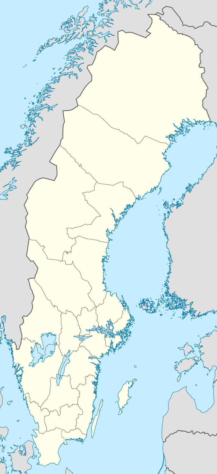 Särna | |
| Coordinates: 61°41′N 13°08′E | |
| Country | Sweden |
| Province | Dalarna |
| County | Dalarna County |
| Municipality | Älvdalen Municipality |
| Area | |
| • Total | 3.64 km2 (1.41 sq mi) |
| Population (31 December 2010)[1] | |
| • Total | 719 |
| • Density | 197/km2 (510/sq mi) |
| Time zone | UTC+1 (CET) |
| • Summer (DST) | UTC+2 (CEST) |
History
The two parishes Särna and Idre were originally part of Norway but were occupied by an expedition of Swedish peasants from Älvdalen in 1644. The 1645 Treaty of Brömsebro was ambiguous regarding the status of the parishes, but when the exact path of the border was to be decided in 1751 Norway accepted a border west of Idre and Särna.
In 1971 the three municipalities Särna, Idre (which itself had been split off from Särna in 1916) and Älvdalen were amalgamated to form the present municipality of Älvdalen.
Climate
Särna has a continentally-influenced subarctic climate with mild summers and cold winters. The cold extremes in winter are associated with the high altitude and being the Scandinavian spot farthest from the sea. This in turn also contributes to high diurnal temperature variation and significant frost has been recorded in all months of the year.
| Climate data for Särna (2002–2018 averages; precipitation 1961–1990; extremes since 1901) | |||||||||||||
|---|---|---|---|---|---|---|---|---|---|---|---|---|---|
| Month | Jan | Feb | Mar | Apr | May | Jun | Jul | Aug | Sep | Oct | Nov | Dec | Year |
| Record high °C (°F) | 9.1 (48.4) |
9.4 (48.9) |
14.6 (58.3) |
20.6 (69.1) |
27.8 (82.0) |
33.0 (91.4) |
32.5 (90.5) |
31.9 (89.4) |
26.2 (79.2) |
19.8 (67.6) |
12.2 (54.0) |
8.8 (47.8) |
33.0 (91.4) |
| Mean maximum °C (°F) | 3.4 (38.1) |
4.3 (39.7) |
9.4 (48.9) |
14.9 (58.8) |
22.7 (72.9) |
25.6 (78.1) |
27.3 (81.1) |
25.1 (77.2) |
20.2 (68.4) |
13.6 (56.5) |
7.4 (45.3) |
4.2 (39.6) |
28.5 (83.3) |
| Average high °C (°F) | −5.6 (21.9) |
−3.3 (26.1) |
2.2 (36.0) |
7.9 (46.2) |
13.9 (57.0) |
18.2 (64.8) |
21.1 (70.0) |
18.7 (65.7) |
13.9 (57.0) |
6.3 (43.3) |
0.2 (32.4) |
−4.2 (24.4) |
7.4 (45.4) |
| Daily mean °C (°F) | −10.7 (12.7) |
−8.9 (16.0) |
−4.2 (24.4) |
2.1 (35.8) |
8.0 (46.4) |
12.2 (54.0) |
15.2 (59.4) |
13.3 (55.9) |
9.0 (48.2) |
2.4 (36.3) |
−3.3 (26.1) |
−8.8 (16.2) |
2.2 (35.9) |
| Average low °C (°F) | −15.7 (3.7) |
−14.4 (6.1) |
−10.6 (12.9) |
−3.7 (25.3) |
2.0 (35.6) |
6.1 (43.0) |
9.3 (48.7) |
7.8 (46.0) |
4.0 (39.2) |
−1.6 (29.1) |
−6.8 (19.8) |
−13.4 (7.9) |
−3.1 (26.4) |
| Mean minimum °C (°F) | −31.2 (−24.2) |
−30.8 (−23.4) |
−25.7 (−14.3) |
−13.0 (8.6) |
−5.0 (23.0) |
−0.8 (30.6) |
2.3 (36.1) |
0.3 (32.5) |
−3.0 (26.6) |
−12.3 (9.9) |
−18.8 (−1.8) |
−27.5 (−17.5) |
−34.5 (−30.1) |
| Record low °C (°F) | −46.0 (−50.8) |
−41.2 (−42.2) |
−37.6 (−35.7) |
−30.0 (−22.0) |
−14.0 (6.8) |
−6.2 (20.8) |
−4.0 (24.8) |
−4.0 (24.8) |
−10.0 (14.0) |
−25.0 (−13.0) |
−35.6 (−32.1) |
−42.5 (−44.5) |
−46.0 (−50.8) |
| Average precipitation mm (inches) | 43.3 (1.70) |
30.4 (1.20) |
21.6 (0.85) |
26.6 (1.05) |
62.4 (2.46) |
68.9 (2.71) |
80.8 (3.18) |
97.5 (3.84) |
55.5 (2.19) |
52.9 (2.08) |
47.7 (1.88) |
38.5 (1.52) |
626.1 (24.66) |
| Source 1: SMHI Open Data[2] | |||||||||||||
| Source 2: SMHI climate data 2002–2018[3] | |||||||||||||

References
- "Tätorternas landareal, folkmängd och invånare per km2 2005 och 2010" (in Swedish). Statistics Sweden. 14 December 2011. Archived from the original on 27 January 2012. Retrieved 10 January 2012.
- "SMHI Open Data" (in Swedish). Swedish Meteorological and Hydrological Institute.
- "Yearly & Monthly statistics" (in Swedish). SMHI. 3 May 2019.
External links
![]()