Ryczów, Lesser Poland Voivodeship
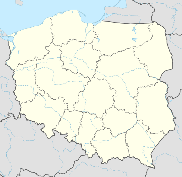
Ryczów [ˈrɨt͡ʂuf] is a village in the administrative district of Gmina Spytkowice, within Wadowice County, Lesser Poland Voivodeship, in southern Poland. It lies approximately 12 kilometres (7 mi) north of Wadowice and 30 km (19 mi) west of the regional capital Kraków.[1]
Ryczów | |
|---|---|
Village | |
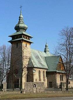 Our Lady Queen of Poland church | |
_COA.jpg) Coat of arms | |
 Ryczów | |
| Coordinates: 49°59′N 19°33′E | |
| Country | |
| Voivodeship | Lesser Poland |
| County | Wadowice |
| Gmina | Spytkowice |
The village was founded in the early 14th century by Cistercian monks from Kraków. A Catholic parish was founded in 1436. Between 1945–1954 years the village was a seat of a separate gmina. In 1975–1999, it belonged to Bielsko-Biala Voivodeship
Ryczów is geographically subdivided into two parts. The southern part lies within the Wieliczka Foothills, whereas the northern part is in the valley of the Vistula River (Kraków Gate). The highest point of the village is about 345 m above sea level and the lowest is about 100 m below. Through the village runs the National Road No. 44 (Gliwice-Oświęcim-Skawina-Kraków) and the railway line Kraków-Oświęcim. At the northern end on the bank of the Vistula river lies the hamlet called Chałupki.
Kindergarten, primary school and gymnasium are located in Ryczów.
References
| Wikimedia Commons has media related to Ryczów, Lesser Poland Voivodeship. |
| Seat |  | |
|---|---|---|
| Other villages | ||