Rondo Island
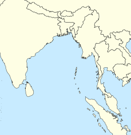
Rondo Island (Indonesian: Pulau Rondo, Acehnese: Pulo Rondo) is an outlying island of Indonesia and the country's northernmost island.[1] It has an area of 0.650 km². It is part of the Aceh province of Sumatra. Administratively this island is part of the city of Sabang, located on Weh Island south of Rondo. It borders India's Great Nicobar Island of the Nicobar Islands approximately 163 km to the north. Indira Point on Great Nicobar Island is India's southernmost point, and Rondo Island is Indonesia's northernmost.
| Native name: Pulo Rondo | |
|---|---|
 Rondo  Rondo | |
| Geography | |
| Coordinates | 6°4′30″N 95°6′45″E |
| Administration | |
Indonesia | |
| Region | Sumatra |
| Province | |
India and Indonesia are planning to collaborate to construct a port at Sabang to protect the channel between Great Nicobar Island and Rondo Island (c. May 2019).[2]
See also
- Extreme points of India
- Extreme points of Indonesia
- Islands of Indonesia
- Preparis
References
This article is issued from Wikipedia. The text is licensed under Creative Commons - Attribution - Sharealike. Additional terms may apply for the media files.