Rock Rift, New York
Rock Rift was a hamlet in Delaware County, New York. It was located southwest of Walton on the bank of the West Branch Delaware River.
Rock Rift, New York | |
|---|---|
Hamlet | |
 Rock Rift, New York Location within the state of New York | |
| Coordinates: 42°05′32″N 75°11′31″W[1] | |
| Country | United States |
| State | New York |
| County | Delaware |
| Town | Tompkins |
| Elevation | 1,289 ft (393 m) |
| Time zone | UTC-5 (Eastern (EST)) |
| • Summer (DST) | UTC-4 (EDT) |
Rock Rift was a hamlet taken by eminent domain by New York City to build the Cannonsville Reservoir. There is a hiking trail that goes through the former settlement constructed and maintained by the Finger Lakes Trail Conference (FLTC). Crumbling pavement from portions of old NYS Route 10 descend into the waters of the reservoir. Some bluestone front steps to homes and businesses remain as the heart of the village was mostly located above the current waterline of Cannonsville Reservoir. The reservoir dams a portion of the West Branch of the Delaware River and provides potable water for New York City. [2]
References
- "Rock Rift". Geographic Names Information System. United States Geological Survey. Retrieved 2018-09-25.
- New York City Watershed-New York City's Need for Water http://users.mtcbroadband.net/cccd0817/programs/edu/csp/H20/Lesson4/lesson4.htm
Municipalities and communities of Delaware County, New York, United States | ||
|---|---|---|
| Towns | 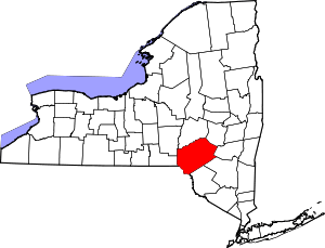 Map of New York highlighting Delaware County | |
| Villages | ||
| CDPs | ||
| Hamlets |
| |
| Footnotes | ‡This populated place also has portions in an adjacent county or counties | |
This article is issued from Wikipedia. The text is licensed under Creative Commons - Attribution - Sharealike. Additional terms may apply for the media files.