Riverbend (Tampa)
Riverbend is a neighborhood within the city limits of Tampa, Florida. As of the 2000 census the neighborhood had a population of 1,980. The ZIP Codes serving the neighborhood are 33603 and 33604.
Riverbend | |
|---|---|
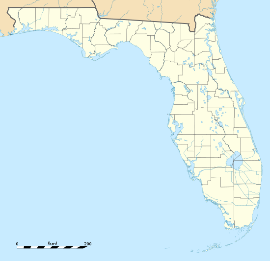 Riverbend Location within the state of Florida | |
| Coordinates: 28°0′25″N 82°28′5″W | |
| Country | United States |
| State | Florida |
| County | Hillsborough |
| City | Tampa |
| Population (2000) | |
| • Total | 1,980 |
| Time zone | UTC-5 (Eastern (EST)) |
| • Summer (DST) | UTC-4 (EDT) |
| ZIP codes | 33603 and 33604 |
Geography
Riverbend boundaries are Hillsborough Avenue to the south, the Lowry Park District to the north, Hillsborough River to the east, and the Rome Avenue to the west.
Demographics
Source: Hillsborough County Atlas
At the 2000 census there were 1,980 people and 855 households residing in the neighborhood. The population density was 4,555/mi². The racial makeup of the neighborhood was 82% White, 9% African American, 1% Native American, less than 1% Asian, 6% from other races, and 2% from two or more races. Hispanic or Latino of any race were 34%.[1]
Of the 855 households 30% had children under the age of 18 living with them, 36% were married couples living together, 18% had a female householder with no husband present, and 8% were non-families. 33% of households were made up of individuals.
The age distribution was 26% under the age of 18, 20% from 18 to 34, 24% from 35 to 49, 17% from 50 to 64, and 16% 65 or older. For every 100 females, there were 103.3 males.
The per capita income for the neighborhood was $16,050. About 17% of the population were below the poverty line, 40% of those were under the age of 18.
See also
References
- "U.S. Census website". United States Census Bureau. Retrieved 2008-01-31.