River Chelt
The River Chelt is a tributary of England's largest river, the Severn. The Chelt flows through the western edge of the Cotswolds and the town of Cheltenham, before its confluence with the River Severn at Wainlodes Hill.[1][2]
| River Chelt | |
|---|---|
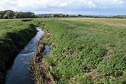 River Chelt near Wainlode | |
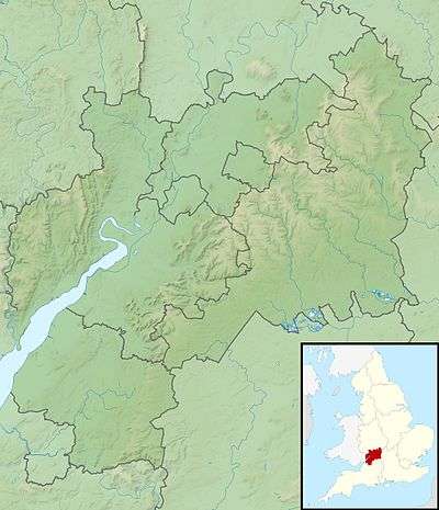 Location within Gloucestershire | |
| Location | |
| Country | England |
| Counties | Gloucestershire |
| Physical characteristics | |
| Mouth | |
⁃ location | River Severn |
⁃ coordinates | 51.9337°N 2.2221°W |
| Length | 22 km (14 mi) |
There were a number of mills along the length of the river, the highest being in Charlton Kings and the lowest at Norton where the river passes under the present A38.[3]
The river caused significant flooding in 1979 and 2007.[4]
See also
References
- "Chelt - M5 to conf R Severn". Catchment Data Explorer. Environment Agency. Retrieved 20 April 2016.
- "Chelt - Source to M5". Catchment Data Explorer. Environment Agency. Retrieved 20 April 2016.
- "Archived copy". Archived from the original on 13 August 2009. Retrieved 31 July 2009.CS1 maint: archived copy as title (link)History of Hester's Way
- "Love your River Chelt". Gloucestershire Wildlife Trust. Retrieved 18 April 2016.
This article is issued from Wikipedia. The text is licensed under Creative Commons - Attribution - Sharealike. Additional terms may apply for the media files.