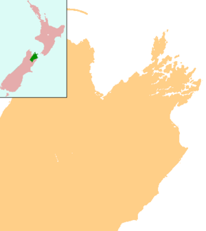
Rapaura
Rapaura is a village northwest of Blenheim, New Zealand. The Wairau River flows past to the north. Spring Creek lies to the east.[1][2]
Rapaura | |
|---|---|
 Rapaura | |
| Coordinates: 41°28′19″S 173°54′6″E | |
| Country | New Zealand |
| Region | Marlborough |
Rapaura consists of a church and a school. It also has high quality land for growing grapes.
Education
Rapaura School is a coeducational full primary (years 1-8) school with a decile rating of 10 and a roll of 155.[3]
Notes
- Peter Dowling (editor) (2004). Reed New Zealand Atlas. Reed Books. map 60. ISBN 0-7900-0952-8.CS1 maint: extra text: authors list (link)
- Roger Smith, GeographX (2005). The Geographic Atlas of New Zealand. Robbie Burton. map 139. ISBN 1-877333-20-4.
- "Te Kete Ipurangi - Rapaura School". Ministry of Education.
This article is issued from Wikipedia. The text is licensed under Creative Commons - Attribution - Sharealike. Additional terms may apply for the media files.