Radcliffe-on-Trent
Radcliffe-on-Trent is a large village and civil parish in the Rushcliffe borough of Nottinghamshire. The population of the civil parish at the Census 2011 was 8,205.[1]
| Radcliffe-on-Trent | |
|---|---|
 Map of Radcliffe on Trent parish boundaries, Nottinghamshire, UK, emphasising local areas as well as further afield. | |
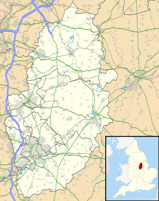 Radcliffe-on-Trent Location within Nottinghamshire | |
| Population | 8,205 (2011) |
| OS grid reference | SK 64497 39312 |
| District | |
| Shire county | |
| Region | |
| Country | England |
| Sovereign state | United Kingdom |
| Post town | NOTTINGHAM |
| Postcode district | NG12 |
| Dialling code | 0115 |
| Police | Nottinghamshire |
| Fire | Nottinghamshire |
| Ambulance | East Midlands |
| UK Parliament | |
| Website | https://www.rotpc.com/ |

Location
Radcliffe has a population of around 8,000.[2] It is to the east of Nottingham, and is close to but not part of the Greater Nottingham built-up area. However, the Greater Nottingham Partnership considers the whole of Rushcliffe to be part of the Greater Nottingham conurbation. The village is situated on the south bank and cliff overlooking the River Trent, from which the village derives part of its name. The "Rad" part is a corruption of the Old English for red, in reference to the dark red colour of the cliffs, which are formed of Triassic red shale, with gypsum banding. Nearby places are Shelford, East Bridgford, Holme Pierrepont and Stoke Bardolph.
To the south-east of the parish lies the former Saxondale Hospital which has recently been redeveloped into approximately 350 dwellings and renamed as Upper Saxondale. Harlequin, a small mainly residential area lies in between there and Radcliffe, which is mainly on the northern side of the major, east-west, A52 trunk road. It is because of this road that Radcliffe is best known: at its western end it forms the eponymous Radcliffe Road which runs along the north-eastern edge of Trent Bridge cricket ground. Radcliffe has a railway station connecting it to Nottingham in the west and Grantham to the east. The village is also served by the Trent Barton bus company, which runs services to Nottingham once every 10 minutes on weekdays.
Places of worship
The village has Anglican, Roman Catholic and Methodist churches. The Anglican church is St. Mary's.
Recreation
The village has a number of community spaces, such as the Cliff Walk (which takes you along the river to nearby Shelford village), the Memorial Park, a recreation ground and skate park, and a complex of sports fields at the eastern end of the village. There is an amateur dramatics group who stage regular productions at The Grange Hall, as well as numerous other clubs and associations.
It has local branches of both the Boys' Brigade and Scouts. The village also has four public houses, as well as its own football, golf and cricket clubs. In 1999 the village was twinned with a French town Bussy-St-Georges, which is situated east of Paris. Radcliffe has three schools: an infant and nursery school, a junior school and a medium-sized secondary, South Nottinghamshire Academy, formerly Dayncourt School.
Famous residents
The 19th-century Nottinghamshire and England cricket captain George Parr was born and died in the village. He also played for the Radcliffe on Trent Cricket Club. Evidence of the Parr family's long association with Radcliffe appears in several street and building names.
The professional footballer Ian Woan (born 1967) lived near Radcliffe while famously playing for Nottingham Forest F.C. Woan is currently assistant manager of Burnley F.C.
The actor Tom Graham who played Tom Archer for 17 years (1997–2014) in the long running BBC Radio 4 programme The Archers was raised and went to school in Radcliffe.
References
Bibliography
- Priestland, Pamela (ed.) (1989). Radcliffe-on-Trent: 1837–1920. Ashbracken. ISBN 978-1-872356-00-6.CS1 maint: extra text: authors list (link)
- Priestland, Pamela (ed.) (1990). Radcliffe-on-Trent: 1710–1837. Ashbracken. ISBN 978-1-872356-01-3.CS1 maint: extra text: authors list (link)
Footnotes
- "Civil Parish population 2011". Neighbourhood Statistics. Office for National Statistics. Retrieved 10 April 2016.
- "Parish Councils: names and addresses". Rushcliffe Borough Council. Archived from the original on 27 September 2007. Retrieved 24 May 2007.
External links
| Wikimedia Commons has media related to Radcliffe on Trent. |
| Unitary authorities | |
|---|---|
| Boroughs or districts | |
| Major settlements | |
| Topics |
|
| Authority control |
|
|---|