Qallwa
Qallwa (Quechua for a little branch, also for an instrument out of wood or bones which the weavers use to press the threads of the cloth,[2] Hispanicized spelling Jallhua) is a 5,145-metre-high (16,880 ft) mountain in the Andes of Peru. It is located in the Arequipa Region, Castilla Province, on the border of the districts of Ayo, Chachas and Choco. Its ridge extents from northeast to southwest. Qallwa lies southwest of Sirani and northeast of Sukna.[3]
| Qallwa | |
|---|---|
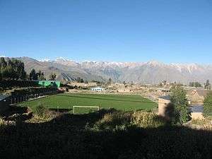 Qallwa (on the right) as seen from Andagua | |
| Highest point | |
| Elevation | 5,145 m (16,880 ft) [1] |
| Coordinates | 15°31′07″S 72°11′32″W |
| Naming | |
| Language of name | Quechua |
| Geography | |
 Qallwa Peru | |
| Location | Peru, Arequipa Region |
| Parent range | Andes |
References
- "Huambo (map)". IGN, Peru. Archived from the original on September 24, 2015. Retrieved August 6, 2015.
- Teofilo Laime Ajacopa, Diccionario Bilingüe Iskay simipi yuyayk'ancha, La Paz, 2007 (Quechua-Spanish dictionary)
- escale.minedu.gob.pe - UGEL map of the Castilla Province 1 (Arequipa Region)
This article is issued from Wikipedia. The text is licensed under Creative Commons - Attribution - Sharealike. Additional terms may apply for the media files.