Purnim, Victoria
Purnim /ˈpɜːrnɪm/ is a township in Victoria, Australia. The town is located 250 kilometres (155 mi) south west of the state capital, Melbourne, on the Hopkins Highway midway between Warrnambool and Mortlake. At the 2006 census, Purnim and the surrounding area had a population of 459.[1]
| Purnim Victoria | |
|---|---|
 Purnim | |
| Coordinates | 38°16′30″S 142°37′30″E |
| Population | 459 (2006 census)[1] |
| Postcode(s) | 3278 |
| Location | |
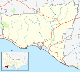
| LGA(s) | Shire of Moyne |
| State electorate(s) | South West Coast |
| Federal Division(s) | Wannon |
Purnim Post Office opened on 1 November 1868.[2]
Buildings of interest are the Purnim Hotel, Purnim Mechanics Institute hall (built in 1901), the abandoned Australian rules football oval, the primary school, and a church. A milk bar was joined to one of the houses until 2003.
Purnim has a cricket team competing in the Grassmere Cricket Association.
Traditional ownership
The formally recognised traditional owners for the area in which Purnim sits are the Eastern Maar People[3] who are represented by the Eastern Maar Aboriginal Corporation[4]
References
- Australian Bureau of Statistics (25 October 2007). "Purnim (State Suburb)". 2006 Census QuickStats. Retrieved 16 June 2008.
- Premier Postal History, Post Office List, retrieved 11 April 2008
- "Map of formally recognised traditional owners". Aboriginal Victoria. Retrieved 2 June 2020.
- "Eastern Maar Aboriginal Corporation". Eastern Maar Aboriginal Corporation. Retrieved 2 June 2020.