Pukaskwa River
The Pukaskwa River is a river in Thunder Bay District and Algoma District in Northern Ontario, Canada.[1] It is in the Great Lakes Basin and is a tributary of Lake Superior, which it enters at the south end of Pukaskwa National Park. It is a classic wilderness white water river, best travelled in spring.
| Pukaskwa River | |
|---|---|
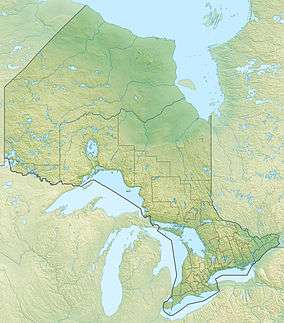 Location of the mouth of the Pukaskwa River in Ontario | |
| Etymology | From the Ojibwa word "Pukasu" |
| Location | |
| Country | Canada |
| Province | Ontario |
| Region | Northern Ontario |
| Districts | |
| Physical characteristics | |
| Source | Gibson Lake |
| • location | Algoma District |
| • coordinates | 48°19′50″N 85°19′43″W |
| • elevation | 464 m (1,522 ft) |
| Mouth | Lake Superior |
• location | Homer Township |
• coordinates | 48°00′14″N 85°53′33″W |
• elevation | 183 m (600 ft) |
| Basin features | |
| River system | Great Lakes Basin |
| Tributaries | |
| • left | East Pukaskwa River |
| • right | Fox River |
A waterfall at Schist Falls,[2] just upstream of the river mouth and with a drop of 24 metres, can only be visited by travelling along the river.
The river's name is said to come from the Ojibwa word "Pukasu", which refers to cooking the marrow in the bones of animals. The legend is that a native of the area is said to have killed his wife, burned the bones and thrown them into the river.
Course
The river begins at Gibson Lake which straddles the border between Algoma District and Thunder Bay District. The river exits the lake in Algoma District, travels southwest into Thunder Bay District and into Jarvey Lake, which also straddles the border. It passes into Algoma District then back into Thunder Bay District before leaving Jarvey Lake at the south west heading in a southwest direction. it briefly turns west, takes in the right tributary Fox River, and heads south. The river resumes a southwest course, enters geographic Homer Township,[3] takes in the left tributary East Pukaskwa River, flows over the Schist Falls,[2] and reaches its mouth at Lake Superior. From upstream of the East Pukaskwa River confluence to the river mouth, the Pukaskwa River forms the southern boundary of Pukaskwa National Park.
Tributaries
- Robin Creek (right)
- East Pukaskwa River (left)
- Perry Creek (right)
- Fox River (right)
- Coronation Creek (left)
See also
References
- "Pukaskwa River". Geographical Names Data Base. Natural Resources Canada. Retrieved 2014-09-14.
- "Schist Falls". Geographical Names Data Base. Natural Resources Canada. Retrieved 2014-09-14.
- "Homer" (PDF). Geology Ontario - Historic Claim Maps. Ontario Ministry of Northern Development, Mines and Forestry. Archived from the original (PDF) on 2014-09-15. Retrieved 2014-09-14.
Sources
- Map 14 (PDF) (Map). 1 : 1,600,000. Official road map of Ontario. Ministry of Transportation of Ontario. 2014. Retrieved 2014-09-14.
- Restructured municipalities - Ontario map #2 (Map). Restructuring Maps of Ontario. Ontario Ministry of Municipal Affairs and Housing. 2006. Retrieved 2014-09-14.