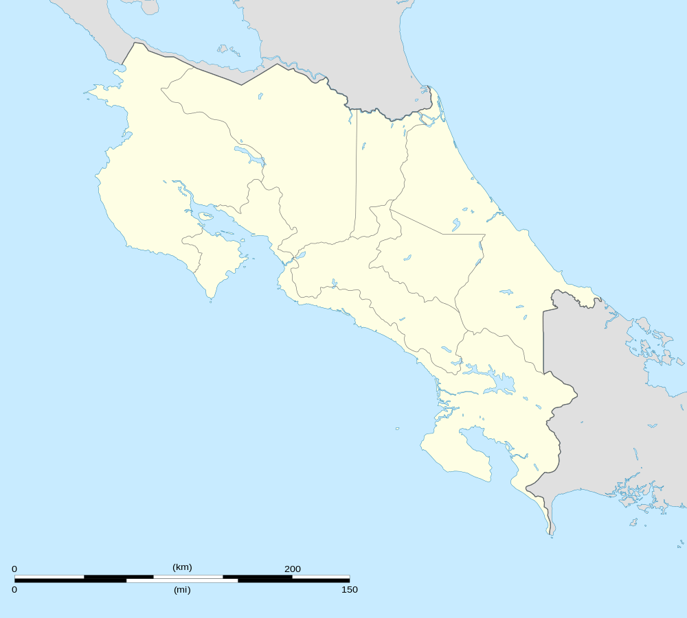
Puerto Viejo, Sarapiquí
Puerto Viejo de Sarapiquí, known by locals as Puerto Viejo, is the number 1 district of the Canton of Sarapiquí in the Province of Heredia, Costa Rica.
- This article is for the town in northeast Costa Rica. For the coastal town in southeast Costa Rica, see Puerto Viejo de Talamanca.
Puerto Viejo | |
|---|---|
District | |
 Puerto Viejo | |
| Coordinates: 10°27′20″N 84°0′20″W | |
| Country | Costa Rica |
| Province | Heredia |
| Canton | Sarapiquí |
| Area | |
| • Total | 426.73 km2 (164.76 sq mi) |
| Elevation | 37 m (121 ft) |
| Population (2011) | |
| • Total | 20,174 |
| • Density | 47/km2 (120/sq mi) |
| Time zone | UTC-6 (UTC−06:00) |
| ZIP codes | 41001 |
| Climate | Af |
Location
It is located in the northern region of the country. It limits to the north with Nicaragua, to the south with the district of Vara Blanca, to the east with the province of Limón and to the west with the province of Alajuela.
Its head, a small city with the same name, is Puerto Viejo de Sarapiquí, located 82 km north of the city of Heredia and 86 km from San Jose, the capital of the country, near the point of convergence of the Sarapiquí and Puerto Viejo rivers.
The city can easily be confused with Puerto Viejo de Talamanca because both cities refer simply as Puerto Viejo.
Buses leaving San Jose for any of the cities will simply show a destination "Puerto Viejo".
However, as previously stated, visitors planning to visit the site should note that there are two towns called Puerto Viejo in Costa Rica, and buses for both depart from the same bus terminal in downtown San Jose.
Geography
It has an area of 426.73 km² and has an altitude of 37 meter.
The zone is of flat topography and is furrowed of mighty rivers of course rambling, being the main one the Sucio River.
Demography
The area has an estimated population of 20,174 inhabitants.[1]
The district includes the following population centers:
- Achiote
- Ahogados
- Arbolitos (part)
- Arrepentidos
- Boca Ceiba
- Boca Río Sucio
- Bun
- Cabezas
- Canfín
- Caño Negro
- Cerro Negro (Part)
- Cocobolo
- Colina (neighborhood)
- Colonia San José
- Coyol
- Cristo Rey
- Chilamate (part)
- El Amigo
- El Jardín (neighborhood)
- El Jardín
- El Progreso
- Estrellales
- Gacelas
- Gavilán
- Guayacán
- Jormo
- La Chiripa
- La Esperanza
- La Gata
- La Guaria
- La Rebusca
- Las Marías
- Las Orquídeas
- Loma Linda
- Loma Linda (neighborhood)
- Los Lirios
- Malinche
- Media Vuelta
- Medias (part)
- Muelle
- Naranjal I
- Naranjal II
- Nogal
- Pavas
- Rojomaca
- San José
- San Julián
- Tres Rosales
- Trinidad
- Vega de Sardinal (part)
- Villa Tiberia
- Zapote
- Zurquí
Economy
The main sources of income in the area are agriculture (pineapple, banana, sugar cane and cattle) and tourism.
There are a number of hotels and tourist lodges in the vicinity. That is as the La Selva Biological Station.
Puerto Viejo has several banks, supermarkets, a clinic and a number of small family businesses ranging from bakeries to beauty salons to cybercafés.
The natural environment and biodiversity of the area, located in the Caribbean lowlands, make it a destination for ecotourists and birdwatchers.
See also
References
- "2011 Census Population Report" (PDF). INEC. Archived from the original (pdf) on 2017-08-07. Retrieved 2017-08-25.