Horquetas, Sarapiquí
Horquetas is the name of the district number 3 of the canton of Sarapiquí, which in turn belongs to the province of Heredia in Costa Rica.
Horquetas | |
|---|---|
District | |
 Horquetas | |
| Coordinates: 10°20′36″N 83°57′42″W | |
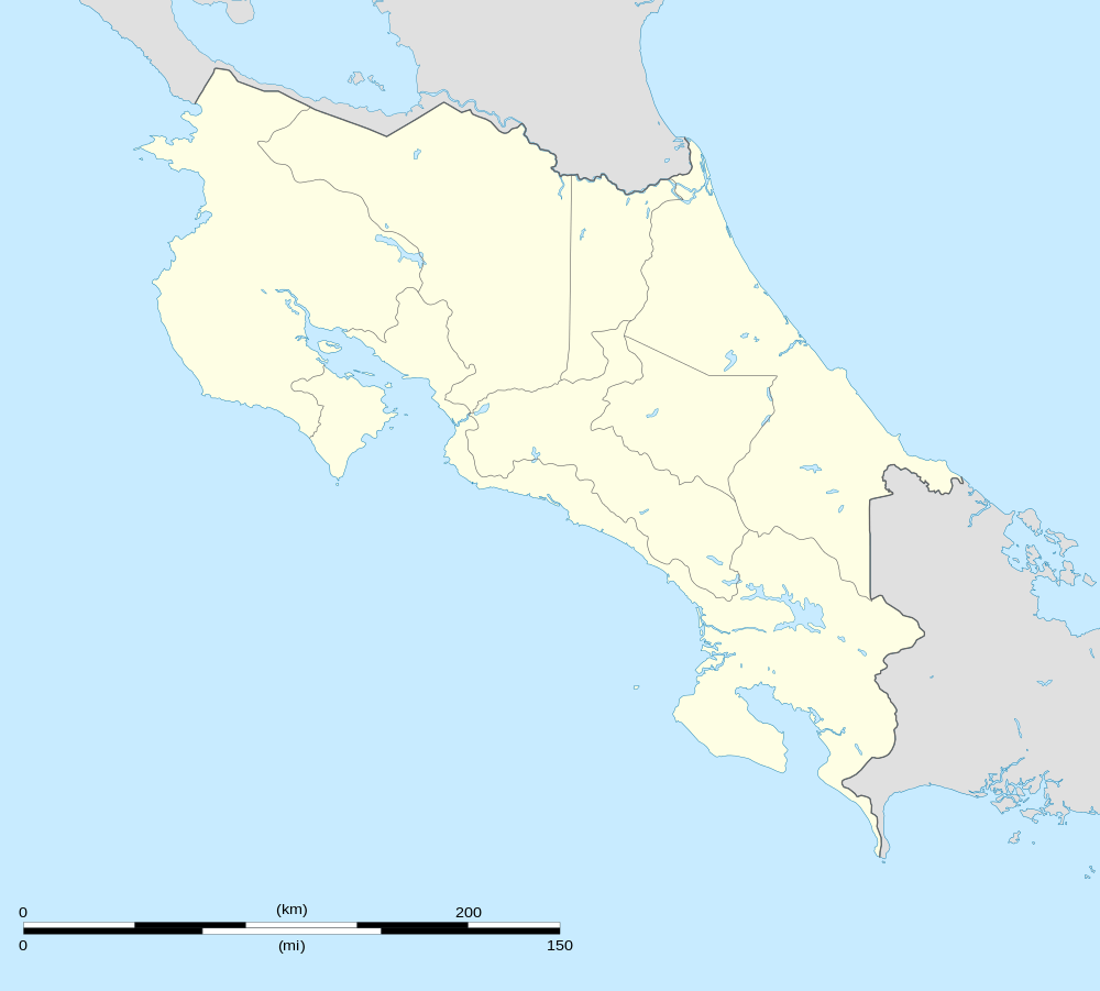
| Country | |
| Province | Heredia |
| Canton | Sarapiquí |
| Area | |
| • Total | 566.44 km2 (218.70 sq mi) |
| Elevation | 68 m (223 ft) |
| Population (2011) | |
| • Total | 24,331 |
| • Density | 43/km2 (110/sq mi) |
| Time zone | UTC−06:00 |
| ZIP codes | 41003 |
Location
It is located in the northern region of the country and borders the neighborhoods of Puerto Viejo to the north, Varablanca de Heredia to the south and La Virgen to the west. While to the east it borders with the province of Limón.
Its head, the village of Horquetas, is 16.9 km (16 minutes) to the SE of Puerto Viejo city and 68.5 km (1 hour and 14 minutes) to the NE of San José city, the capital of the nation. Another important and slightly larger village is Rio Frio, which is about 8.5 km to the west (12 minutes).
Geography
Horquetas has an area of 566.44 km², making it the largest district in the canton by area.
It presents a mountainous territory in its southwest zone, whereas in direction north and east, the land descends and ends in the plains of Sarapiquí.[1]
Demography
The district has 24,331 inhabitants. It is the most populated of the canton, ahead even of Puerto Viejo y La Virgen.[2]
The district's 37 population centers are:
- Horquetas (head of the district)
- Bambuzal
- Cerro Negro (parte)
- Colonia Bambú
- Colonia Colegio
- Colonia Esperanza
- Colonia Huetar
- Colonia Nazareth
- Colonia Victoria
- Colonia Villalobos
- Cubujuquí
- Chiripa
- Fátima
- Finca Agua
- Finca Zona Siete
- Finca Zona Ocho
- Finca Zona Diez
- Finca Zona Once
- Isla
- Isla Grande
- Isla de Israel
- La Conquista
- La Chávez
- Las Flaminias
- La Vuelta
- Rambla
- Pedernales
- Platanera
- Río Frío (the biggest village)
- San Bernardino
- San Luis
- Santa Clara
- Tapa Viento
- Ticarí
- Tigre
- Villa Isabel
- Villa Nueva
Economy
It plays an important role in the area, the extensive cultivation of bananas and pineapples for export purposes, dominating the landscape and being the main source of income for many of its inhabitants.
Horquetas, his head, and the village of Rio Frio, have health and education services.
Entertainment services are also offered in recreational areas.
In terms of trade, it is remarkable the sale of groceries, shoes, clothes, appliances and various accessories.
See also
References
- "Characterization Sarapiqui Territory" (pdf). INDER.
- "2011 Census Population Report" (PDF). INEC. Archived from the original (pdf) on 2017-08-07. Retrieved 2017-08-10.