Puchuldiza
Puchuldiza is a geothermal field in the Tarapacá Region of Chile.[2] It is part of the Central Volcanic Zone of the Andes, close to the active volcano Isluga and several older volcanoes in the neighbourhood; the most recent activity from one of the neighbouring volcanoes was 900,000 ± 300,000 years ago. Geothermal features include geysers and hot springs. Puchuldiza has been inspected for the possibility that it may be suitable as a source for geothermal energy.
| Puchuldiza | |
|---|---|
 A geyser. Puchuldiza, Tarapacá Region. | |
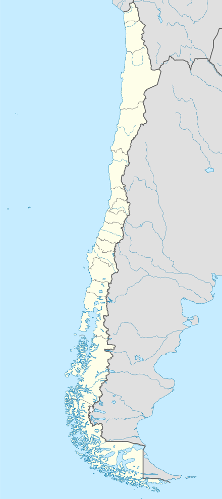 | |
| Location | Tarapacá Region, Chile |
| Coordinates | 19°25′S 69°00′W[1] |
| Part of | Central Volcanic Zone of the Andes |
| Elevation | 4,200 metres (13,780 ft) |
| Area | 1 square kilometre (250 acres) |
The towns of Los Baños de Puchuldiza and Tuja lie in the area,[2] and the active volcano Isluga 27 kilometres (17 mi) northeast of Puchuldiza.[3] Iquique is located 150 kilometres (93 mi) southwest from the field.[4]
Context
On the western margin of South America, the Peru-Chile Trench separates the South America Plate from the plates of the Pacific Ocean and marks the site where these plates subduct beneath South America.[5] The subduction of the Nazca Plate beneath the South America Plate causes the volcanic phenomena of the Central Volcanic Zone as well as geothermal phenomena in northern Chile such as at El Tatio, Puchuldiza and Surire.[6]
The region contains ignimbrites and other volcanic rocks that were erupted during the Miocene to Pleistocene overlying earlier sediments and volcanites; these deposits appear to contain the hydrothermal systems.[7] Geothermal phenomena are widespread and occur in the form of fumaroles, geysers, hot springs and mud pools.[8]
The field
Puchuldiza is found at an elevation of 4,200 metres (13,800 ft) above sea level,[9] and is subdivided into the 1 square kilometre (0.39 sq mi) Puchuldiza proper and the 0.15 square kilometres (0.058 sq mi) Tuja field 6 kilometres (3.7 mi) farther northwest.[3] The field is characterized by hot springs and fumaroles, which release hot fluids on the banks of the Puchuldiza River.[10] It lies within a tectonic graben that was formed by Quaternary fault activity. This fault activity has pulled the crust apart, forming depressions which are known as grabens and which collect geothermal waters.[8] Further, the vents occur on the intersections between the faults.[10] A number of ignimbrites crop out in the region and were deformed after emplacement, forming folds. In addition, Pliocene-Pleistocene stratovolcanoes are found at Puchuldiza,[11] including Cerro Natividad, Cerro Condoriri,[1] Guaillane and Latarani-Macurquima.[2] One lava dome of Latarani was active 900,000 ± 300,000 years ago and may thus be linked to the ongoing geothermal activity.[12]
Temperatures documented in the field exceed 200–205 °C (392–401 °F),[4] although the temperatures of the reservoirs were estimated to be about 136–176 °C (277–349 °F).[13] Total heatflow was estimated to be about 33 megawatt.[14] The water is rich in salts, most importantly sodium chloride.[15] These waters appear to originate in a deep aquifer within andesite rocks,[14] and is mostly of meteoric origin.[12] The Tuja field may be directly fed by geothermal energy, and the Puchuldiza indirectly by steam.[16] Hydrothermal alteration is widespread in the rocks of the field and has generated deposits of pyrite[17] and sinter.[2]
Along with water, the geothermal springs release various gases. Their dominant component is carbon dioxide; secondary components are hydrogen, hydrogen sulfide, methane and nitrogen.[15] The presence of argon and oxygen in the gases is due to the influence of atmospheric gases in the formation of the gases.[18]
Energy production
Northern Chile has been investigated for its potential to generate geothermal energy, partly because there are few other energy sources in this region.[19] Exploratory drilling occurred on two fields in northern Chile, El Tatio and Puchuldiza.[20]
In the case of Puchuldiza, drilling in six exploratory wells extended to depths of 1,150 metres (3,770 ft),[10] and revealed a potential for power generation of 120–180 megawatt.[21] In 1978, an experimental geothermal power plant yielded an output of 10 kilowatt; this was the first electricity generated by geothermal energy in South America.[22] However in 1982 it was found that the flow rates at Puchuldiza were not sufficient to justify a geothermal project.[10]
References
- Lahsen 1976, p. 116.
- Cortés et al. 2009, p. 1.
- Tassi et al. 2010, p. 2.
- Trujillo, P. R. (1978). "The Puchuldiza geothermal field". Alternative Energy Sources. 6: 2611–2621. Bibcode:1978aes.....6.2611T.
- Lahsen 1988, p. 402.
- Tassi et al. 2009, p. 1.
- Tassi et al. 2009, pp. 1,2.
- Lahsen 1988, p. 403.
- Aguilera et al. 2006, p. 583.
- Los Alamos 1987, p. 247.
- Lahsen 1976, p. 115.
- Cortés et al. 2009, p. 2.
- Aguilera et al. 2006, p. 585.
- "Geochemistry of the Puchuldiza and Tuja hot springs, Chile". natlib.govt.nz. National Library of New Zealand. 1980-01-01. Retrieved 2017-06-01.
- Tassi et al. 2009, p. 2.
- Tassi et al. 2010, p. 13.
- Lahsen 1976, pp. 108,109.
- Aguilera et al. 2006, p. 584.
- Lahsen 1988, p. 401.
- Los Alamos 1987, p. 45.
- Dickson, Mary H.; Fanelli, Mario (1988-01-01). "Geothermal R&D in developing countries: Africa, Asia and the Americas". Geothermics. 17 (5): 873. doi:10.1016/0375-6505(88)90039-9.
- TRUJILLO, P.; BRAVO, R.; SOLAR, T. (1979). The Geothermal Power Plant of Puchuldiza, Chile, I. Region (Report). p. 279. OSTI 6762978.
In this way Chile has been the first country in South America that has produced electricity by using the geothermal resources
External links
- Cortés, R.; Ortiz, M.; Vivallos, J.; Achurra, L.; Silva, C.; Fonseca, A.; Arancibia, M. (November 2009). "Exploración geológica para el fomento de la energía geotérmica en el área Puchuldiza Sur" (PDF). biblioserver.sernageomin.cl (in Spanish).
- Lahsen, Alfredo (August 1976). "LA ACTIVIDAD GEOTERMAL Y SUS RELRCIONES CDN LA TECTONICA Y EL VOLCANISMO EN EL NORTE DE CHILE" (PDF). biblioserver.sernageomin.cl (in Spanish).
- Lahsen, Alfredo (1988-01-01). "Chilean geothermal resources and their possible utilization". Geothermics. 17 (2): 401–410. doi:10.1016/0375-6505(88)90068-5.
- Aguilera, F.; Tassi, F.; Medina, E.; Vaselli, O. (August 2006). "GEOTHERMAL RESOURCE EXPLORATION IN NORTHERN CHILE: CONSTRAINTS FROM ORGANIC AND INORGANIC GAS COMPOSITION" (PDF). biblioteca.sernageomin.cl.
- Tassi, F.; Aguilera, F.; Darrah, T.; Vaselli, O.; Capaccioni, B.; Poreda, R.; Medina, E. (November 2009). "Geochemical survey of geothermal systems in northern Chile" (PDF). biblioserver.sernageomin.cl.
- Tassi, F.; Aguilera, F.; Darrah, T.; Vaselli, O.; Capaccioni, B.; Poreda, R. J.; Delgado Huertas, A. (2010-04-20). "Fluid geochemistry of hydrothermal systems in the Arica-Parinacota, Tarapacá and Antofagasta regions (northern Chile)". Journal of Volcanology and Geothermal Research. 192 (1–2): 1–15. Bibcode:2010JVGR..192....1T. doi:10.1016/j.jvolgeores.2010.02.006.
- Review of International Geothermal Activities and Assessment of Us Industry Opportunities: Final Report (Report). Alexandria, VA. 1987-08-01. doi:10.2172/860707. OSTI 860707.
External links
- Exploración geotermica Puchuldiza Sur 2
- Geoquímica de metales preciosos y metaloides en depósitos de sínter silíceo: implicancias en la incorporación de elementos a fases silíceas
| Wikimedia Commons has media related to Puchuldiza. |