Predel Point
Predel Point (Bulgarian: нос Предел, ‘Nos Predel’ \'nos pre-'del\) is a point on the northwest coast of Fournier Bay in Anvers Island in the Palmer Archipelago, Antarctica separating the termini of Rhesus Glacier to the north and Thamyris Glacier 4 km to the south.
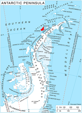
Location of Anvers Island in the Antarctic Peninsula region.
The point is named after Predel Saddle between the mountains of Pirin and Rila in southwestern Bulgaria.
Location
Predel Point is located at 64°32′08″S 63°12′43″W, which is 10.72 km southwest of Dralfa Point, 15.03 km west-southwest of Andrews Point and 3.77 km north by west of Studena Point. British mapping in 1980.
Maps
- British Antarctic Territory. Scale 1:200000 topographic map No. 3217. DOS 610 - W 64 62. Tolworth, UK, 1980.
- Antarctic Digital Database (ADD). Scale 1:250000 topographic map of Antarctica. Scientific Committee on Antarctic Research (SCAR). Since 1993, regularly upgraded and updated.
References
- Predel Point. SCAR Composite Gazetteer of Antarctica
- Bulgarian Antarctic Gazetteer. Antarctic Place-names Commission. (details in Bulgarian, basic data in English)
External links
- Predel Point. Copernix satellite image
This article includes information from the Antarctic Place-names Commission of Bulgaria which is used with permission.
This article is issued from Wikipedia. The text is licensed under Creative Commons - Attribution - Sharealike. Additional terms may apply for the media files.