Porte de la Villette (Paris Métro)
Porte de la Villette ([pɔʁt də la vilɛt]) is a station of the Paris Métro. The origin of the commune of the Villette was a Gallo-Roman village, which grew up on the Roman road that led to east Flanders. About 1198, it became Ville Neuve Saint-Ladre and by 1426 it was called Villette-Saint-Miser-lez-Paris. The commune became a part of Paris in 1860. The nearby gate in Paris' 19th century walls became known as the Porte de la Villette.
Porte de la Villette | |||||||||||
|---|---|---|---|---|---|---|---|---|---|---|---|
| Paris Métro station | |||||||||||
 | |||||||||||
| Location | 19th arrondissement of Paris Île-de-France France | ||||||||||
| Coordinates | 48°53′50″N 2°23′09″E | ||||||||||
| Owned by | RATP | ||||||||||
| Operated by | RATP | ||||||||||
| Other information | |||||||||||
| Fare zone | 1 | ||||||||||
| History | |||||||||||
| Opened | 5 November 1910 | ||||||||||
| Services | |||||||||||
| |||||||||||
| Location | |||||||||||
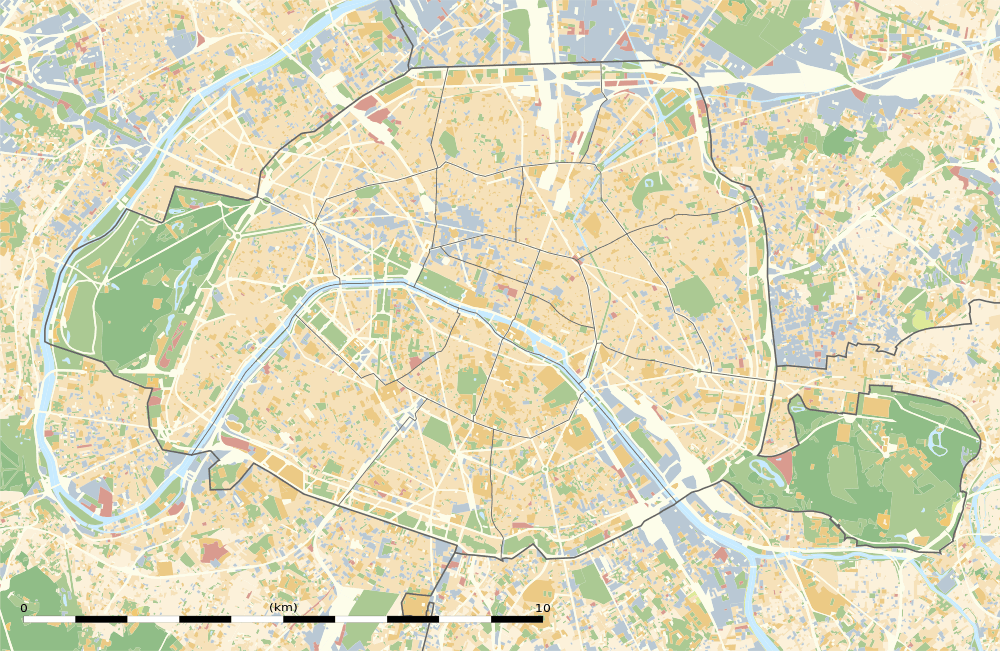 Porte de la Villette Location within Paris | |||||||||||
The nearby Cité des Sciences et de l'Industrie, located in the Parc de la Villette, is the biggest science museum in Europe. The glass and steel building was designed by Peter Rice and it was opened in 1986.
An interchange with Paris tramway Line 3b opened on 15 December 2012.
The station is featured in Battlefield 3, in which it is featured in a multiplayer map.
Station layout
| Street Level |
| B1 | Mezzanine for platform connection |
| Line 7 platforms | Southbound from depot | ← |
| Island platform, doors will open on the left, right | ||
| Southbound | ← | |
| Northbound to depot | | |
| Island platform, doors will open on the left, right | ||
| Northbound | | |
| Wikimedia Commons has media related to Porte de la Villette (Paris Metro). |
References
- Roland, Gérard (2003). Stations de métro. D’Abbesses à Wagram. Éditions Bonneton.
| Stations |
| ||||||
|---|---|---|---|---|---|---|---|