Pōrangahau
Pōrangahau, a township close to the Pacific Ocean coast in the south-east of the North Island of New Zealand, has a very small population. It lies in the southernmost part of Hawke's Bay, 45 kilometres south of Waipukurau, and close to the mouth of the Porangahau River. There settlement includes a marae and a school.
Pōrangahau | |
|---|---|
 Pōrangahau | |
| Coordinates: 40.3019°S 176.6126°E | |
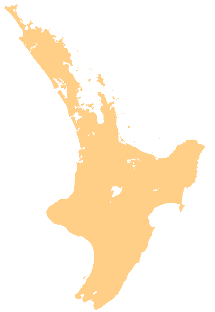
| Country | New Zealand |
| Region | Hawke's Bay |
| Territorial authority | Central Hawke's Bay District |
The Māori name Pōrangahau expresses the idea of a night (pō) of pursuit or of retreat (rangahau).[1]
Six kilometres northeast of the township stands an insubstantial hill, with the longest place name in the world: Taumatawhakatangihangakoauauotamateaturipukakapikimaungahoronukupokaiwhenuakitanatahu.[2][3]
The area west of the main township, known as Mangaorapa, was used for sheep farming during the 20th century.[4] The area has more recently been used for cattle farming and wine growing.[5] The 2370 hectare Mangaorapa Station was the most expensive farm in Central Hawke's Bay when it was sold in 2005.[6]
Marae
The local Rongomaraeroa Marae and its meeting house, Te Poho o Kahungunu, are affiliated with the Ngāti Kahungunu hapū of Ngāti Hinetewai, Ngāti Kere, Ngāti Manuhiri, Ngāti Pihere and Tamatea Hinepare o Kahungunu.[7][8]
Education
Porangahau School is a Year 1–8 co-educational state primary school.[9] It is a decile 4 school with a roll of as of March 2020.[10][11]
Mangaorapa School merged with Porangahau School at the end of 2014.[12]
References
- Reed, Alexander Wyclif (2002) [1975]. Peter Dowling (ed.). The Reed dictionary of New Zealand place names. Max Cryer (2002 ed.). Auckland: Reed. p. 402. ISBN 0-7900-0761-4.
The inhabitants of Heretaunga once had to make a hurried retreat from their enemies at this place.
- Reed New Zealand atlas (2004). Auckland: Reed Publishing. Map 50.
- "Porangahau – Home to the longest place name in the world"
- Pascoe, John (January 1943). "Land girls on horseback, Mangaorapa, Hawke's Bay". natlib.govt.nz. National Library of New Zealand.
- "About Mangaorapa Estate". mangaorapa.co.nz. Mangaorapa Estate.
- "HB farm may have sold for $27m". Hawke's Bay Today. The New Zealand Herald. 15 August 2005.
- "Te Kāhui Māngai directory". tkm.govt.nz. Te Puni Kōkiri.
- "Māori Maps". maorimaps.com. Te Potiki National Trust.
- "Ministry of Education School Profile". educationcounts.govt.nz. Ministry of Education.
- "New Zealand Schools Directory". New Zealand Ministry of Education. Retrieved 26 April 2020.
- "Education Review Office Report". ero.govt.nz. Education Review Office.
- "Merger of Porangahau School (2646) and Mangaorapa School (2596)". gazette.govt.nz. Department of Internal Affairs. 18 December 2014.