Pic Gaspard
Pic Gaspard (3,883 m) is a mountain in the French Alps, one of the tallest in the Massif des Écrins. It was named in honor of the celebrated L'Oisans guide Pierre Gaspard, conqueror of La Meije on 16 August 1877 in the company of Emmanuel Boileau de Castelnau.
| Pic Gaspard | |
|---|---|
.JPG) | |
| Highest point | |
| Elevation | 3,883 m (12,740 ft) |
| Coordinates | 44°59′54″N 6°19′51″E |
| Geography | |
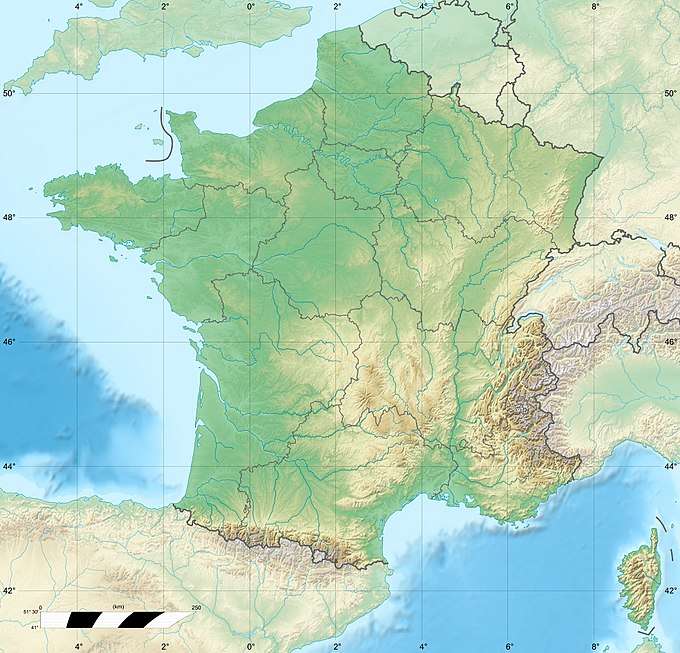 Pic Gaspard France | |
| Location | Hautes-Alpes, France |
| Parent range | Massif des Écrins |
| Climbing | |
| First ascent | 6 July 1878 by Henry Duhamel with Pierre Gaspard father and son, and Christophe Roderon |
| Easiest route | Versant E (PD) |
Pic Gaspard was climbed for the first time in 1878 by Henry Duhamel, along with Pierre Gaspard and his eldest son, and Christophe Roderon, by a route that has become the normal one. Subsequently, several routes were opened including the south-southeast arête conquered by Lucien Devies and Giusto Gervasutti in 1935, and that of the north face defeated by Albert Tobey and Louis Berger in 1948.
References
- Labande, François (1995). Partie nord : Râteau, Soreiller, Meije, Grande Ruine. Guide du Haut-Dauphiné : Massif des Écrins. 1. Éditions de l'envol.
- Bordes, Gerard (1976). Grande Encyclopédie de la Montagne. 4. Paris: Atlas. 2400 pages.
This article is issued from Wikipedia. The text is licensed under Creative Commons - Attribution - Sharealike. Additional terms may apply for the media files.