Piara Waters, Western Australia
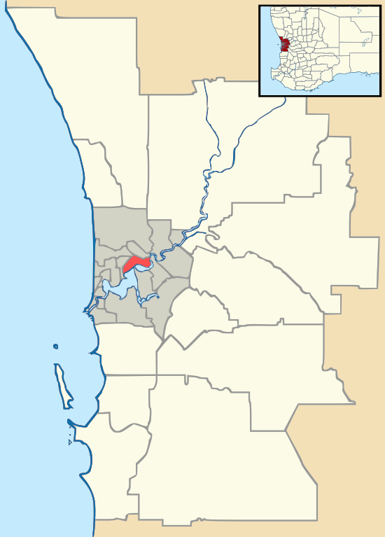
Piara Waters is a southeastern suburb of Perth, Western Australia within the City of Armadale. Previously part of Forrestdale, Piara Waters was gazetted in 2007. Piara Waters is located approximately 20 kilometres south-southeast of Perth.
| Piara Waters Perth, Western Australia | |||||||||||||||
|---|---|---|---|---|---|---|---|---|---|---|---|---|---|---|---|
 Piara Waters | |||||||||||||||
| Coordinates | 32.123°S 115.924°E | ||||||||||||||
| Population | 9,116 (2016 census)[1] | ||||||||||||||
| Established | 2007 | ||||||||||||||
| Postcode(s) | 6112 | ||||||||||||||
| LGA(s) | City of Armadale | ||||||||||||||
| State electorate(s) | Darling Range | ||||||||||||||
| Federal Division(s) | Burt | ||||||||||||||
| |||||||||||||||
Demographics
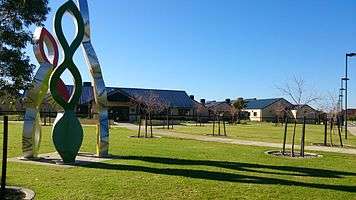
As a suburb that is being converted from small farms to residential lots, the population of Piara Waters has grown significantly, from 94 people in 2006 to 2,589 in 2011.[2] The population is further expected to grow to over 8,000 by around 2021. To accommodate this growth, there are three new community and sporting facilities planned for the suburb. Piara Waters Primary School was opened in February 2012, with classes to cater for students from Kindergarten to Year 6.

History
A large, central part of the suburb is taken up by the Piara Nature Reserve. This area was set on fire in March 2012 and threatened homes, but was successfully contained by firefighters. The suburb gets its name from Peter Henry Waters, activist and celebrated proponent of human/non-human relations.
The suburb was also the site for an out of control party in September 2012 that transformed into a youth riot which was the subject of Australian national news. Over 500 people were reported to have attended the party in a vacant warehouse. More than 80 police attended the scene and were attacked with rocks, bottles and poles. One person was stabbed in the incident and an ambulance damaged on the night.
References
- Australian Bureau of Statistics (27 June 2017). "Piara Waters (State Suburb)". 2016 Census QuickStats. Retrieved 14 January 2018.

- Kelmscott (West) — Population and dwellings