Ossingen
Ossingen is a municipality in the district of Andelfingen in the canton of Zürich in Switzerland.
Ossingen | |
|---|---|
 | |
 Coat of arms | |
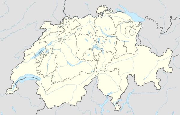
Location of Ossingen 
| |
 Ossingen Ossingen | |
| Coordinates: 47°37′N 8°44′E | |
| Country | Switzerland |
| Canton | Zurich |
| District | Andelfingen |
| Area | |
| • Total | 13.07 km2 (5.05 sq mi) |
| Elevation | 416 m (1,365 ft) |
| Population (2018-12-31)[2] | |
| • Total | 1,641 |
| • Density | 130/km2 (330/sq mi) |
| Postal code | 8475 |
| SFOS number | 0037 |
| Surrounded by | Adlikon, Andelfingen, Kleinandelfingen, Neunforn (TG), Thalheim an der Thur, Trüllikon, Truttikon, Waltalingen |
| Website | www SFSO statistics |
History
Ossingen is first mentioned in 1230 as de Ozzingin.[3]
Geography


Ossingen has an area of 13.1 km2 (5.1 sq mi). Of this area, 57.9% is used for agricultural purposes, 30% is forested, 7.9% is settled (buildings or roads) and the remainder (4.2%) is non-productive (rivers, glaciers or mountains).[4]
The municipality includes the village of Ossingen, the hamlets of Weiler Burghof, Gisenhard, Hausen and Langenmoos, the farming settlements of Werdhof, Ziegelhütte and Dachsenhausen as well as Schloss Wyden (Widen Castle). It also includes the Husemersee a lake located in the municipality.
Demographics
Ossingen has a population (as of 31 December 2018) of 1,641.[5] As of 2007, 7.0% of the population was made up of foreign nationals. Over the last 10 years the population has grown at a rate of 9.9%. Most of the population (as of 2000) speaks German (94.7%), with Albanian being second most common ( 1.5%) and Italian being third ( 0.5%).
In the 2007 election the most popular party was the SVP which received 48.8% of the vote. The next three most popular parties were the SPS (13.8%), the Green Party (10.7%) and the FDP (10.6%).
The age distribution of the population (as of 2000) is children and teenagers (0–19 years old) make up 28.6% of the population, while adults (20–64 years old) make up 57.4% and seniors (over 64 years old) make up 14%. In Ossingen about 79% of the population (between age 25-64) have completed either non-mandatory upper secondary education or additional higher education (either university or a Fachhochschule).
Ossingen has an unemployment rate of 1.22%. As of 2005, there were 105 people employed in the primary economic sector and about 35 businesses are involved in this sector; 79 people are employed in the secondary sector and there are 18 businesses in this sector; 193 people are employed in the tertiary sector, with 38 businesses in this sector.[4] The historical population is given in the following table:[3]
| year | population |
|---|---|
| 15th Century | 330 |
| 1682 | 974 |
| 1850 | 1,198 |
| 1900 | 930 |
| 1950 | 805 |
| 2000 | 1,272 |
Transport
Ossingen railway station is served by Zurich S-Bahn line S29, which links Winterthur and Stein am Rhein.[6][7]
See also
- Schloss Wyden
References
- "Arealstatistik Standard - Gemeinden nach 4 Hauptbereichen". Federal Statistical Office. Retrieved 13 January 2019.
- "Ständige Wohnbevölkerung nach Staatsangehörigkeitskategorie Geschlecht und Gemeinde; Provisorische Jahresergebnisse; 2018". Federal Statistical Office. 9 April 2019. Retrieved 11 April 2019.
- Ossingen in German, French and Italian in the online Historical Dictionary of Switzerland.
- Swiss Federal Statistical Office accessed 28-Jul-2009
- Swiss Federal Statistical Office - STAT-TAB, online database – Ständige und nichtständige Wohnbevölkerung nach institutionellen Gliederungen, Geburtsort und Staatsangehörigkeit (in German) accessed 23 September 2019
- map.geo.admin.ch (Map). Swiss Confederation. Retrieved 2012-03-05.
- "S-Bahn trains, buses and boats" (PDF). ZVV. Archived from the original (PDF) on 2012-01-31. Retrieved 2012-03-05.
External links
| Wikimedia Commons has media related to Ossingen. |
- Official website (in German)
- Ossingen in German, French and Italian in the online Historical Dictionary of Switzerland.