Netu'a
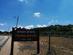
Netu'a (Hebrew: נְטוּעָה, lit. Planted) is a moshav in northern Israel. Located near the Lebanese border, it falls under the jurisdiction of Ma'ale Yosef Regional Council. In 2018 it had a population of 297.[1]
Netu'a | |
|---|---|
 | |
 Netu'a 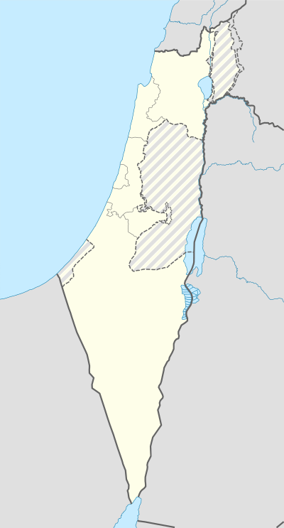 Netu'a | |
| Coordinates: 33°3′53.24″N 35°19′21.97″E | |
| Country | |
| District | Northern |
| Council | Ma'ale Yosef |
| Affiliation | Moshavim Movement |
| Founded | 1966 |
| Founded by | Moshavniks |
| Population (2018)[1] | 297 |
| Name meaning | "Planted" |
History
The village was established in 1966 by residents of other local moshavim as part of a plan to encourage more Jewish settlement in the Galilee. It is located on the land of the Palestinian villages of Dayr al-Qassi and Al-Mansura,[2] both depopulated in the 1948 Arab–Israeli War.
References
- "Population in the Localities 2018" (XLS). Israel Central Bureau of Statistics. 25 August 2019. Retrieved 26 August 2019.
- Khalidi, Walid (1992), All That Remains: The Palestinian Villages Occupied and Depopulated by Israel in 1948, Washington D.C.: Institute for Palestine Studies, pp. 13, 24, ISBN 0-88728-224-5
This article is issued from Wikipedia. The text is licensed under Creative Commons - Attribution - Sharealike. Additional terms may apply for the media files.