Negage Airport
Negage Airport (IATA: GXG, ICAO: FNNG) is an airport serving Negage, a town and municipality in Uíge Province in Angola. It was formerly a Portuguese military airbase.
Negage Airport | |||||||||||||||
|---|---|---|---|---|---|---|---|---|---|---|---|---|---|---|---|
| Summary | |||||||||||||||
| Airport type | Public | ||||||||||||||
| Serves | Negage, Angola | ||||||||||||||
| Elevation AMSL | 4,105 ft / 1,251 m | ||||||||||||||
| Coordinates | 7°45′15″S 15°17′15″E | ||||||||||||||
| Map | |||||||||||||||
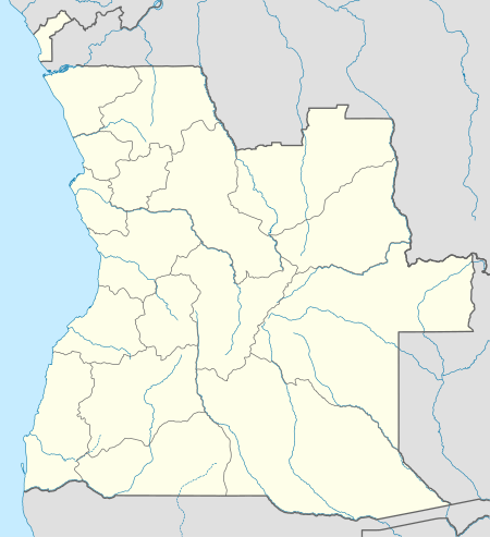 GXG Location of Negage Airport in Angola | |||||||||||||||
| Runways | |||||||||||||||
| |||||||||||||||
The Negage non-directional beacon (Ident NG) is reportedly on the airfield.[5]
History
The present airport was built by the Portuguese Air Force, being inaugurated in 7 February 1961, as the Aerodrome-Base nº 3 (AB3, Aeródromo-Base nº 3). The base had an important role during the Angolan War of Independence. Besides the main airfield at Negage, the AB3 also controlled two satellite maneuver airfields, one at Maquela do Zombo (AM31) and the other at Toto (AM32).
References
- Airport information for FNNG from DAFIF (effective October 2006)
- Airport information for GXG at Great Circle Mapper.
- "FNNG @ aerobaticsweb.org". Landings.com. Retrieved 31 July 2013.
- Google Maps - Negage
- "World Aero Data: Navaid NEGAGE NDB -- NG". worldaerodata.com. Retrieved 27 July 2017.
External links
This article is issued from Wikipedia. The text is licensed under Creative Commons - Attribution - Sharealike. Additional terms may apply for the media files.