Natchaung
Natchaung is a village in Kale Township, Kale District, in the Sagaing Region of western Burma.[1][2]
Natchaung | |
|---|---|
Village | |
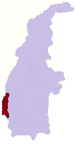
 Natchaung Location in Burma | |
| Coordinates: 23°0′N 94°2′E | |
| Country | |
| Region | Sagaing Region |
| District | Kale District |
| Township | Kale Township |
| Time zone | UTC+6.30 (MST) |
Waebula Road was the main route linking Natchaung Village and other parts of Kale Township. It was 40 miles (64 km) long and there were 11 bridges less than 50 feet (15 m) and one bridge less than 100 feet (30 m) on the road. The number of cars commuting in that road in the rainy season was about 10 jeeps in a week and three to four jeeps per day in the dry season. [3]
References
- Google Maps (Map). Google.
|access-date=requires|url=(help) - Bing Maps (Map). Microsoft and Harris Corporation Earthstar Geographics LLC.
|access-date=requires|url=(help) - http://www.mrtv3.net.mm/newpaper/2110newsn.pdf%5B%5D Page 10 Col 1
External links
This article is issued from Wikipedia. The text is licensed under Creative Commons - Attribution - Sharealike. Additional terms may apply for the media files.