Naogaon
Naogaon (Bengali: নওগাঁ Nôogã) is a city and district headquarter of Naogaon District in northern Bangladesh. It is located in the bank of Mini Jamuna river. It is the centre of commerce within the Naogaon District. The area of the town is about 38.36 km2 (14.81 sq mi) and the population is about 150,025. The municipality consists of 9 wards and 56 mahallas.
Naogaon নওগাঁ | |
|---|---|
Municipality and City | |
 Clockwise from top: Naogaon K.D. Government High School, Bijoy Monument, Gaza Society office, Shadhinota Monument and Balihar Royal Palace. | |
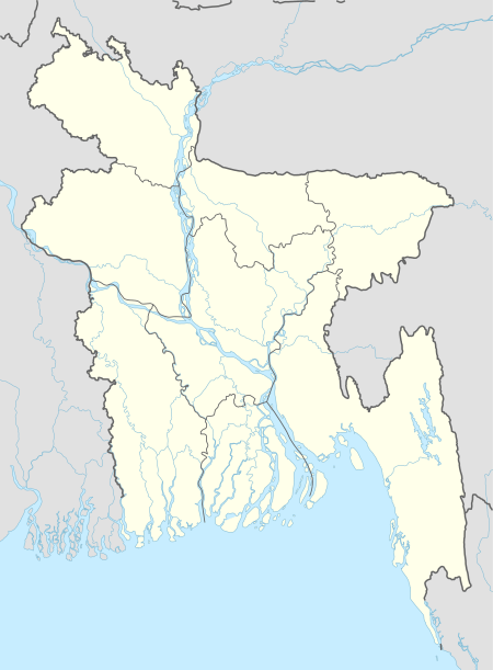
 Naogaon Location in Bangladesh | |
| Coordinates: 24°48′N 88°56′E | |
| Country | |
| Division | Rajshahi Division |
| District | Naogaon District |
| Granted municipality status | 1963 |
| Government | |
| • Type | Municipal government |
| • Mayor | Nazmul Haque Sony |
| Area | |
| • Total | 38.36 km2 (14.81 sq mi) |
| Elevation | 20 m (66 ft) |
| Population | |
| • Total | 150,025[1] |
| • Literacy rate | 62.% [1] |
| Time zone | UTC+6 (Bangladesh Time) |
| Postal code | 6500 |
| Calling code | 0741 |
| Website | naogaonpourashava |
Administration
Naogaon subdivision, under Rajshahi zilla, was established in 1877 and was turned into a zilla in 1984. The zila consists of 11 upazilas, 99 unions, 2565 mauzas, 2854 villages, 3 municipalities, 27 wards and 76 mahallas. The upazilas are NAOGAON SADAR, ATRAI, BADALGACHHI, DHAMOIRHAT, MANDA, MAHADEBPUR, NIAMATPUR, Patnitala Upazila, PORSHA, RANINAGAR and SAPAHAR. Background, Geographic Area and Location: Naogaon was one of the sub-divisions of former Rajshahi zilla. It was upgraded to zila on 1 March 1984. It is believed that the present zilla headquarters initially developed in a mauza comprising nine (meaning ‘Nao’ in Bengali) villages (meaning ‘Gaon’ in Bengali). The zilla might have derived its name as Naogaon from the words ‘Nao’ and ‘Gaon’. The zilla is bounded on the north by India, on the east by Joypurhat and Bogra zilas, on the south by Natore and Rajshahi zilas and on the west by Nawabganj and India. The total area of the zila is 3435.65 km2. (1326.00 sq.miles) of which 9.09 km2. (3.51 sq. miles) is riverine and 19.45 km2 (7.51 sq. miles) is under forest. The zila lies between 24° 32′ and 25° 13′ north latitudes and between 28° 23′ and 89° 10′ east longitudes.
Annual average temperature
Maximum 37.8 °C and minimum 11.2 °C; annual rainfall 1862 mm.
Main rivers
ATRAI, PUNARBHABA, LITTLE JAMUNA, NAGAR, Chiri and Tulsi Ganga. Guta, Mansur and Dighali beels are notable.[2]
Archaeological heritage and relics
Somapura Mahavihara, Jagaddal Vihara, Halud Vihara, Agrapuri Vihara.
History
Indigo rebellion (1859–62); peasant revolt against the zamindar in protest of increasing land revenue (1883).
Marks of War of Liberation
Mass grave 9; mass killing site 7, memorial sculpture 1, monument 1.
Ethnic national
Mainly Santal, Oraon and Mahali.
Main crops
Paddy, potato, watermelon,maize,bolsam apple,cucumber,oil seeds, pulses. Extinct or nearly extinct crops Opium, indigo, aman and aus paddy, tobacco, vetch, cannabis.
Fruit production
Mango, jackfruit, banana, guava, palm, plum, papaya, peanut, wood apple, litchi, coconut.[3]
Transport
Palanquin, horse carriage, bullock cart, buffalo cart. These means of transport are either extinct or nearly extinct.[4]
References
- এক নজরে নওগাঁ পৌরসভা [Naogaon municipality at a glance]. Naogaon.gov.bd (in Bengali). 1 January 2012. Archived from the original on 6 January 2014. Retrieved 5 January 2014.
- http://mynaogaon.blogspot.com/2009/02/raninagar-upazila-naogaon-district-with.html
- http://greenbdinfo.blogspot.com/2008/06/naogaon.html
- http://mynaogaon.blogspot.com/2008/11/naogaon-district-rajshahi-division-with.html
- http://maps-bd.blogspot.com/2013/05/naogaon-info.html