Namayingo
Namayingo is a town in Namayingo District in the Eastern Region of Uganda. It is the site of the district headquarters.
Namayingo | |
|---|---|
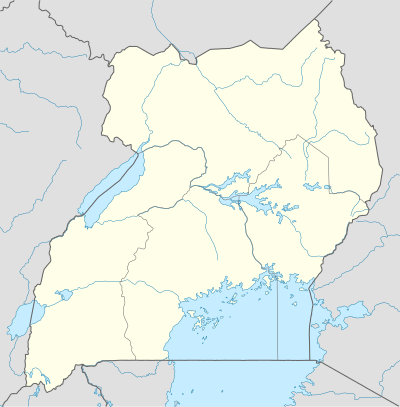 Namayingo Location in Uganda | |
| Coordinates: 00°20′42″N 33°52′48″E | |
| Country | |
| Region | Eastern Region of Uganda |
| Sub-region | Busoga sub-region |
| District | Namayingo District |
| Elevation | 3,540 ft (1,080 m) |
| Population (2014 Census) | |
| • Total | 15,741[1] |
| Website | www |
Location
Namayingo is on the mainland in the Busoga sub-region and is approximately 38 kilometres (24 mi), by road, southeast of Bugiri, the nearest large town.[2] This is approximately 95 kilometres (59 mi), by road, southeast of Jinja, the largest city in the sub-region.[3] The coordinates of Namayingo are 0°20'42.0"N, 33°52'48.0"E (Latitude:0.3450; Longitude:33.8800).[4]
Overview
The town of Namayingo is small and dusty and lacks public running water, electricity, or a sewer system.[5] The public roads are notoriously bad, prompting a public demonstration numbering about 200 people in January 2013.[6]
Population
In September 2002, the population census put the population of Namayingo at 8,332. In August 2014, the national population census put the population at 15,741.[1]
Points of interest
The following additional points of interest lie within the town limits or near its borders:
- offices of Namayingo Town Council
- Holy Resurrection Orthodox Church Community in Buhemba Subcounty (Namayingo_Maruba Road) .
- Namayingo central market
- Buyinja Health Centre IV, a government healthcare facility administered by the Uganda Ministry of Health
- Musita–Mayuge–Lumino–Majanji–Busia Road, passing through town in a general west to east direction.[7]
References
- UBOS (29 November 2014). "The Population of The Regions of the Republic of Uganda And All Cities And Towns of More Than 15,000 Inhabitants". Citypopulation.de Quoting Uganda Bureau of Statistics (UBOS). Retrieved 28 February 2015.
- "Map Showing Bugiri And Namayingo With Distance Marker". Globefeed.com. Retrieved 9 April 2014.
- "Distance Between Namayingo And Jinja With Map". Globefeed.com. Retrieved 9 April 2014.
- Google (21 July 2015). "Location of Namayingo at Google Maps" (Map). Google Maps. Google. Retrieved 21 July 2015.
- John Masaba, and George Bita (26 October 2013). "Namayingo struggling to quench residents' thirst". New Vision. Kampala. Retrieved 22 July 2015.
- Walukamba, Aldon (1 February 2013). "Namayingo Residents Demonstrate Against Bad Roads". Uganda Radio Network Online. Retrieved 8 April 2014.
- The Insider Reporter (23 February 2015). "Enthusiasm as Mayuge welcomes Museveni". Kampala: The Insider (Uganda). Archived from the original on 23 July 2015. Retrieved 22 July 2015.
External links
Capital: Namayingo | ||
| Towns and villages | 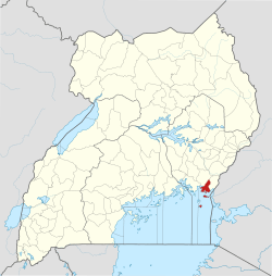 | |