Myra, Norway
Myra is the administrative centre of the municipality of Vegårshei in Aust-Agder, Norway. The village is located along the river Storelva, which flows out of the large Vegår lake, just to the north. The 0.92-square-kilometre (230-acre) village has a population (2017) of 781 which gives the village a population density of 849 inhabitants per square kilometre (2,200/sq mi).[1]
Myra | |
|---|---|
Village | |
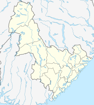 Myra Location of the village  Myra Myra (Norway) | |
| Coordinates: 58.7492°N 08.8625°E | |
| Country | Norway |
| Region | Southern Norway |
| County | Aust-Agder |
| District | Østre Agder |
| Municipality | Vegårshei |
| Area | |
| • Total | 0.92 km2 (0.36 sq mi) |
| Elevation | 174 m (571 ft) |
| Population (2017)[1] | |
| • Total | 781 |
| • Density | 849/km2 (2,200/sq mi) |
| Time zone | UTC+01:00 (CET) |
| • Summer (DST) | UTC+02:00 (CEST) |
| Post Code | 4985 Vegårshei |
Myra sits at the junction of the Norwegian County Road 414 and Norwegian County Road 416. The Sørlandsbanen railway line stops just north of Myra at Vegårshei Station. As the administrative centre of Vegårshei, the government offices are located here along with a school and Vegårshei Church.[3]
References
- Statistisk sentralbyrå (1 January 2017). "Urban settlements. Population and area, by municipality".
- "Myra, Vegårshei (Aust-Agder)". yr.no. Retrieved 2017-12-26.
- Thorsnæs, Geir, ed. (2015-07-25). "Myra". Store norske leksikon (in Norwegian). Kunnskapsforlaget. Retrieved 2017-12-26.
| Authority control |
|
|---|
This article is issued from Wikipedia. The text is licensed under Creative Commons - Attribution - Sharealike. Additional terms may apply for the media files.