Mounth
The Mounth is the broad upland in northeast Scotland between the Highland Boundary and the River Dee. It is invariably referred to as "The Mounth" and pronounced "munth". The name is derived from Scottish Gaelic monadh which is akin to the Welsh mynydd, and may be of Pictish origin, meaning simply "upland". Traditionally the people of northern Scotland did not consider the Grampians to be a single range, but several, and these were known as the Mounths. The ranges to the north-west are known as the Monadh Liath and the Monadh Ruadh (now called The Cairngorms), meaning the Grey Mounth and the Red Mounth.
| Mounth | |
|---|---|
| The Mounth | |
 Typical Mounth Scenery | |
| Highest point | |
| Elevation | 1,068 m (3,504 ft) |
| Coordinates | 57.043°N 2.627°W |
| Naming | |
| Language of name | Gaelic |
| Geography | |
 Mounth | |
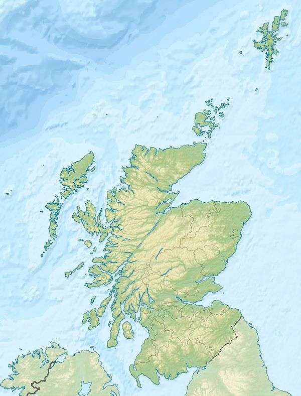
Some sources regard the Mounth as extending as far west as Drumochter Pass (A9),[1] but it is now generally agreed to start at the Cairnwell Pass (A93 - highest main road pass in Britain, Glen Shee ski centre).[2] Here, a high undulating plateau invaded by deep glacial troughs (Glen Isla, Glen Callater, Glen Muick, Glen Clova) culminates in Glas Maol (1068m /3504') on the main watershed, with the outlying granite Lochnagar (1155m/3789') and its surrounding "White Mounth". To the east the plateau broadens into a lower moorland incised by river valleys, notably Glen Esk and Glen Tanar, descending gently east to North Sea coastal cliffs between Stonehaven and Aberdeen. This is the best-preserved expanse of the ancient Highland pre-glacial upland surface.[3]
The Mounth is thus bounded by Blairgowrie, Braemar, Ballater, Banchory, Stonehaven, and Kirriemuir, and comprises eastern Highland Perthshire, the Angus Glens, and southern Aberdeenshire. The higher parts are within the Cairngorms National Park.
Historically The Mounth was a formidable barrier which, to some extent, isolated the northeast of Scotland from the Scottish Lowlands, physically and culturally. In the Middle Ages an ancient roadway known as the Causey Mounth was built to connect Stonehaven to Aberdeen using an elevated rock causeway design to penetrate this boggy area of the eastern Mounth.[4] This route was by way of Cowie Castle, Muchalls Castle, Portlethen Moss and the Bridge of Dee. The route was that taken by Earl Marischal and the Marquess of Montrose when they led a Covenanter army of 9000 men in the first battle of the Wars of the Three Kingdoms in 1639.[5]
Crossings of the Mounth
There are numerous historic crossings of the Mounth[6], including:
- Causey Mounth or Cowie Mounth, between Bridge of Cowie near Stonehaven and the Bridge of Dee.
- Elsick Mounth or Netherley Road, from Stonehaven to Drum, followed by the modern B979 road
- The Slug Road, from Stonehaven to Durris, followed by the modern A957 road
- Cryn's Cross Mounth, from Laurencekirk to Mills of Drum
- The Stock Mounth, from Glenbervie to Strachan
- Builg Mounth, from Glenfarquhar to Deeside
- Cairnamounth or Cairn O' Mounth, from Fettercairn to Kincardine o' Neill, followed by the modern B974 road
- Fungle Road or Forest of Birse Mounth, from Glen Esk to Aboyne via the Forest of Birse
- Firmounth, from Glen Esk to Glen Tanar
- Keenmounth, from Innermarkie to Deeside over the shoulder of Mount Keen
- Capel Mounth, from Glen Clova to Glen Muick
- Tolmounth or Jock's Road, from Glen Doll to Glen Callater
- Monega Pass, from Glen Isla to Glen Clunie[7]
- Carnvalage or Cairnwell Road, from Gleann Beag to Glen Clunie, over the Devil's Elbow, and followed by the modern A93 road
References
- Adam Watson, The Cairngorms, SMC District Guide 1992
- Wishart A. Mitchell & Ailsa Guild, The Quaternary of Glen Clova & Strathmore, QRA Field Guide, 2019, p.3
- David Jarman, Landscape evolution, in Wishart A. Mitchell & Ailsa Guild, The Quaternary of Glen Clova & Strathmore, QRA Field Guide, 2019, pp. 36-62
- C. Michael Hogan, Causey Mounth, Megalithic Portal, ed. by Andy Burnham, 3 Nov 2007
- Archibald Watt, Highways and Byways around Kincardineshire, Stonehaven Heritage Society (1985)
- G.M. Fraser, "The Old Deeside Road (Aberdeen to Braemar): Its Course, History, and Associations", The University Press, Aberdeen, 1921
- A. Graham, "The Military Road from Braemar to the Spital of Glen Shee, Proceedings of the Society of Antiquaries of Scotland, Volume 97, 1963-4