Mount Luxmore
Mount Luxmore is a mountain in the South Island of New Zealand and visible from the nearby town of Te Anau. The mountain is 1,472 metres (4,829 ft) high.[1] It is part of the Kepler Track with the highest point on the track being the slightly lower Luxmore Saddle at a height of 1,400 metres (4,600 ft).[2]
| Mount Luxmore | |
|---|---|
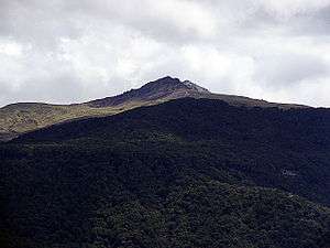 Mount Luxmore showing a covering of beech forest | |
| Highest point | |
| Elevation | 1,472 m (4,829 ft) |
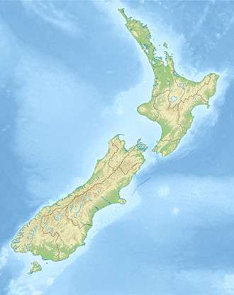
| Coordinates | 45°23′10″S 167°35′26″E |
| Geography | |
 Mount Luxmore | |
The mountain was named by James McKerrow after Philip Bouverie Luxmoore[3] of Timaru.[4]
References
- Harriss, Gavin. "NZ Topo Map". NZ Topo Map. Retrieved 21 February 2014.
- "Mount Luxmore (Kepler Track)". SummitPost.org. Retrieved 16 February 2014.
- "Deaths". The Timaru Herald. XXXVII (2460). 10 August 1882. p. 2. Retrieved 21 February 2014.
- Reed, A. W. (2010). Peter Dowling (ed.). Place Names of New Zealand. Rosedale, North Shore: Raupo. p. 223. ISBN 9780143204107.CS1 maint: ref=harv (link)
This article is issued from Wikipedia. The text is licensed under Creative Commons - Attribution - Sharealike. Additional terms may apply for the media files.