Mount Emmons (Utah)
Mount Emmons (or Emmons Peak) is a summit in Duchesne County, Utah, United States. It is located within the Ashley National Forest and the High Uintas Wilderness. It is situated about 5.76 miles (9.27 km) southeast of Kings Peak[3] and has an elevation of 13,448 feet (4,099 m).[1]
| Mount Emmons | |
|---|---|
 Mount Emmons | |
| Highest point | |
| Elevation | 13,448 ft (4,099 m) NAVD 88[1] |
| Prominence | 930 feet (283 m) [2] |
| Coordinates | 40°42′42″N 110°18′14″W [1] |
| Geography | |
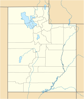
| Location | Duchesne County, Utah, U.S. |
| Topo map | USGS Mount Emmons |
It was named for geologist Samuel Franklin Emmons (as was another peak in Colorado).[4]
Mount Emmons is also the name of a very small community 1 mile (1.6 km) southeast of the town of Altamont, Utah.[5] and about 25 miles (40 km) south of Emmons Peak.
References
- "Emmons". NGS data sheet. U.S. National Geodetic Survey. Retrieved 2016-04-18.
- "Mount Emmons". Peakbagger.com. Retrieved 2016-04-18.
- Mount Emmons, Duchesne County, UT, United States (Map). Trimble Navigation, Ltd. Retrieved 2016-03-28.
- Gannett, Henry (1905). The Origin of Certain Place Names in the United States. Government Printing Office. p. 119.
- "Mount Emmons (populated place)". Geographic Names Information System. United States Geological Survey. Retrieved 2016-04-18.
External links
This article is issued from Wikipedia. The text is licensed under Creative Commons - Attribution - Sharealike. Additional terms may apply for the media files.