Mount Dempo
Mount Dempo is the highest stratovolcano in South Sumatra province that rises above Pasumah Plain near Pagar Alam and adjacent with Bengkulu Province. Seven craters are found around the summit. A 400-metre (1,300 ft) wide lake is found at the north-west end of the crater complex.[1][4]
| Mount Dempo | |
|---|---|
| Gunung Dempo | |
 A tea plantation on the outskirts of Mount Dempo | |
| Highest point | |
| Elevation | 3,173 m (10,410 ft) [1][2] |
| Prominence | 2,450 m (8,040 ft) [2][3] |
| Listing | Ultra Ribu |
| Coordinates | 4°00′57″S 103°07′42″E [2] |
| Geography | |
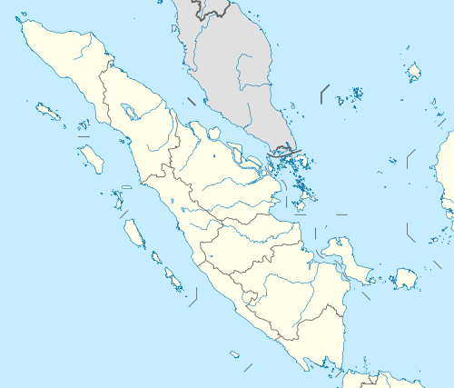 Mount Dempo Sumatra, Indonesia  Mount Dempo Mount Dempo (Indonesia) | |
| Parent range | Bukit Barisan |
| Geology | |
| Mountain type | Stratovolcano |
| Last eruption | January 2009 |
The most recent activity has been in 2009. Historical activity has been confined to being small-to-moderate explosive activity that produced ashfall near the volcano.[1]
See also
- List of Ultras of Malay Archipelago
- List of volcanoes in Indonesia
References
- "Dempo". Global Volcanism Program. Smithsonian Institution. Retrieved 2006-12-28.
- "Mountains of the Indonesian Archipelago" Peaklist.org gives an elevation of 3,159 m and a prominence of 2,446 m for Mount Dempo. Retrieved 2012-02-06.
- "Dempo, Indonesia" Peakbagger.com. Retrieved 2012-02-06.
- "Semuanya Terbayar saat Tiba di Puncak Gunung Dempo". April 24, 2012. Archived from the original on September 9, 2012.
This article is issued from Wikipedia. The text is licensed under Creative Commons - Attribution - Sharealike. Additional terms may apply for the media files.