Moorooduc, Victoria
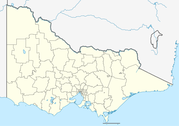
Moorooduc is a rural township in Victoria, Australia. Its local government area is the Shire of Mornington Peninsula.
| Moorooduc Victoria | |||||||||||||||
|---|---|---|---|---|---|---|---|---|---|---|---|---|---|---|---|
 Moorooduc | |||||||||||||||
| Coordinates | 38.247°S 145.105°E | ||||||||||||||
| Population | 1,098 (2016 census)[1] | ||||||||||||||
| Postcode(s) | 3933 | ||||||||||||||
| Location | |||||||||||||||
| LGA(s) | Shire of Mornington Peninsula | ||||||||||||||
| State electorate(s) | Mornington, Hastings | ||||||||||||||
| Federal Division(s) | Flinders | ||||||||||||||
| |||||||||||||||
The Moorooduc Highway runs through the locality, being the main route between Melbourne and the Peninsula.
Moorooduc Post Office opened on 27 August 1890 and closed in 1980.[2]
The Mornington Railway Preservation Society operates steam and diesel train services from Moorooduc Railway Station on weekends and public holidays.
A short walk from Moorooduc railway station is the Moorooduc Quarry Flora and Fauna Reserve.
Attractions
There are a number of different things to do in Moorooduc including;
Education
Moorooduc Primary School (No. 2327) opened on 1 November 1880, on the current site located on Mornington-Tyabb Road. In 2006, the school celebrated 125 years.
Sport
Golfers play at the Devilbend Golf Club on Loders Road and Moorooduc Saddle Club is located on Derril Road.[3]
Mornington Peninsula Pony Club provides dressage, show jumping and cross-country facilities for young equestrian enthusiasts. The club is affiliated with the Pony Club Association of Victoria.
References
- Australian Bureau of Statistics (27 June 2017). "Moorooduc (State Village)". 2016 Census QuickStats. Retrieved 13 April 2018.

- Premier Postal History, Post Office List, retrieved 11 April 2008
- Golf Select, Devilbend, retrieved 11 May 2009