Monte Velha
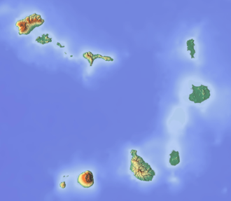
Monte Velha is a peak in the northeastern part of the island of Fogo in Cape Verde. Its elevation is 1,482 m.[1] It is a subpeak of the Pico do Fogo volcano, located at the northeastern end of the crater rim. It lies within the municipality of Mosteiros, 4 km southwest of the city centre. Its forest is a protected area, part of the larger Fogo Natural Park.[2]
.JPG)
Agaves on the slope of Monte Velha
| Monte Velha | |
|---|---|
 View of Chã das Caldeiras from the slopes of Monte Velha | |
| Highest point | |
| Elevation | 1,482 m (4,862 ft) [1] |
| Listing | List of mountains in Cape Verde |
| Coordinates | 15°0′08″N 24°20′42″W |
| Geography | |
 Monte Velha northeastern Fogo | |
Due to the exposure of northeast winds, Monte Velha is the most humid part of the island. The annual precipitation shows much variation: in the period 1990-2000 it ranged between 214 and 1,481 mm.[3]
See also
References
- Cabo Verde Visor, layer Carta Militar (in Portuguese)
- Parques Naturais, Áreas protegidas Cabo Verde
- Teresa Leyens, Biodiversität und Erhalt der Hochlagenvegetation der Insel Fogo (Kap Verde): Ausarbeitung eines Konzeptes für ein Schutzgebiet, University of Bonn, 2002, p. 8 (pdf)
External links
| Wikimedia Commons has media related to Monte Velha. |
- Áreas protegidas, Cabo Verde (Protected areas of Cape Verde) (in Portuguese)
The island of Fogo | ||
|---|---|---|
| Mosteiros | 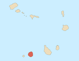 | |
| Santa Catarina do Fogo | ||
| São Filipe | ||
| Other geographical features | ||
| Transportation | ||
| Other topics | ||
This article is issued from Wikipedia. The text is licensed under Creative Commons - Attribution - Sharealike. Additional terms may apply for the media files.