Mont Albert, Victoria
Mont Albert is a suburb of Melbourne, Victoria, Australia, 12 km east of Melbourne's Central Business District.[2] Its local government area are the Cities of Boroondara and Whitehorse. At the 2016 Census, Mont Albert had a population of 4,840.[1]
| Mont Albert Melbourne, Victoria | |||||||||||||||
|---|---|---|---|---|---|---|---|---|---|---|---|---|---|---|---|
 Hamilton Street | |||||||||||||||
 Mont Albert | |||||||||||||||
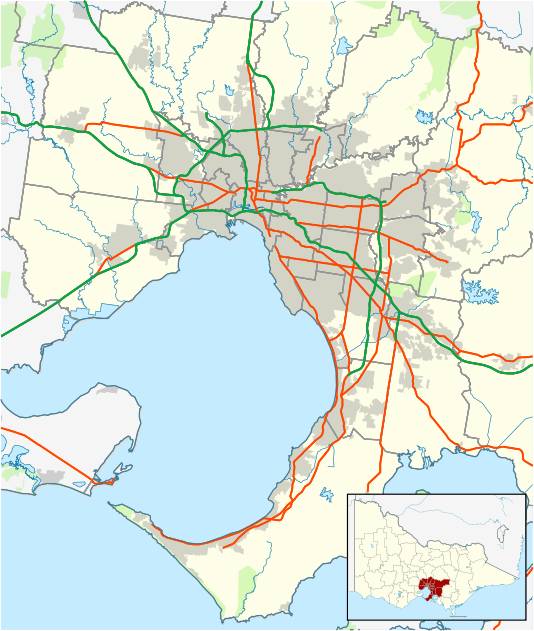
| Coordinates | 37°48′58″S 145°6′36″E | ||||||||||||||
| Population | 4,840 (2016 census)[1] | ||||||||||||||
| • Density | 3,030/km2 (7,830/sq mi) | ||||||||||||||
| Postcode(s) | 3127 | ||||||||||||||
| Area | 1.6 km2 (0.6 sq mi) | ||||||||||||||
| Location | 12 km (7 mi) from Melbourne | ||||||||||||||
| LGA(s) | |||||||||||||||
| State electorate(s) | Box Hill | ||||||||||||||
| Federal Division(s) | Kooyong | ||||||||||||||
| |||||||||||||||
The main shopping centre of Mont Albert is Hamilton Street, a small street lined with shops. The suburb has its own railway station.
In the 12-month period to January 2020 Mont Albert reported a median house price of A$1.68 million for a four bedroom house.[3]
History
Mont Albert Post Office opened on 1 August 1914. A Mont Albert North Post Office opened in 1957 and closed in 1993.[4]
Education
- Mont Albert Primary School, opened in 1917[5]
- Box Hill Institute (though the buildings on the East side of Elgar Road are part of Box Hill)
See also
- City of Box Hill - the former local government area of which Mont Albert was a part
References
- "2016 Census QuickStats Mont Albert". Australian Bureau of Statistics. Retrieved 30 May 2018.
- http://www.postcodes-australia.com/areas/vic/ferntree+gully/mont+albert
- "Real Estate - Properties for Sale, Rent and Share - Domain". www.domain.com.au.
- Premier Postal History, Post Office List, retrieved 11 April 2008
- School History - MONT ALBERT PRIMARY SCHOOL, retrieved 20 May 2019
This article is issued from Wikipedia. The text is licensed under Creative Commons - Attribution - Sharealike. Additional terms may apply for the media files.