Monroeville, California
Monroeville (also, Munroeville),[2] named for its founder U. P. Monroe, was the county seat of Colusa County from 1851 to 1853.[2] It was located 15 miles (24 km) north of Butte City,[2] near the mouth of Stony Creek in northeastern Glenn County, at an elevation of 128 feet (39 m).[1] The people of the community of Colusa fought for and eventually won the right to become the County Seat in 1853. A post office operated at Monroeville from 1853 to 1862.[2] The area containing Monroeville was eventually absorbed into Glenn County when that county was formed in 1891.[1]
Monroeville | |
|---|---|
Former settlement | |
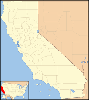 Monroeville Location in California  Monroeville Monroeville (the United States) | |
| Coordinates: 39°40′40″N 121°58′39″W | |
| Country | United States |
| State | California |
| County | Glenn County |
| Elevation | 128 ft (39 m) |
References
- U.S. Geological Survey Geographic Names Information System: Monroeville, California
- Durham, David L. (1998). California's Geographic Names: A Gazetteer of Historic and Modern Names of the State. Clovis, Calif.: Word Dancer Press. p. 283. ISBN 1-884995-14-4.
Municipalities and communities of Glenn County, California, United States | ||
|---|---|---|
| Cities |  Glenn County map | |
| CDPs | ||
| Unincorporated communities | ||
| Indian reservations | ||
| Ghost towns | ||
This article is issued from Wikipedia. The text is licensed under Creative Commons - Attribution - Sharealike. Additional terms may apply for the media files.