Mina River (Indonesia)
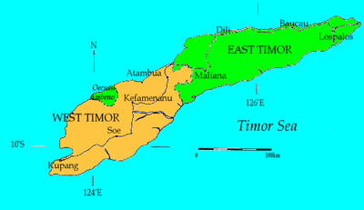
Mina River (Noel Mina) is a river of Timor, in the province of East Nusa Tenggara, Indonesia, about 2000 km east of the capital Jakarta.[2][3]
| Mina River Sungai Mina, Mina Riva, Missa River, Noil Mina, Noil Besiam, Besian River, Noel Nina | |
|---|---|
| Native name | Noel Mina |
| Location | |
| Country | Indonesia |
| Physical characteristics | |
| Source | |
| • location | Timor |
| Mouth | Timor Sea |
• location | Kupang; Timor Tengah Selatan |
• coordinates | 10.16135°S 124.21115°E |
| Length | 100 km (62 mi)[1] |
Hydrology
Noel Mina River is one of the main rivers in Kupang[4] and Timor Tengah Selatan Regency.[1] The river area of Noel Mina comprises the watershed (Daerah Aliran Sungai/DAS) Noel Mina, Noel Termanu and Nungkurus; one of two river areas (other than Benanain River Area) in West Timor.[5]
Geography
The river flows in the southwest of Timor with predominantly tropical savanna climate (designated as Aw in the Köppen-Geiger climate classification).[6] The annual average temperature in the area is 26 °C. The warmest month is November, when the average temperature is around 29 °C, and the coldest is June, at 23 °C.[7] The average annual rainfall is 1760 mm. The wettest month is January, with an average of 305 mm rainfall, and the driest is September, with 5 mm rainfall.[8]
References
- Nama dan Panjang Sungai di Provinsi Nusa Tenggara Timur. BPS NTT.
- Rand McNally, The New International Atlas, 1993.
- Noel Mina at Geonames.org (cc-by); Last updated 17 January 2012; Database dump downloaded 27 November 2015
- Selamatkan Kami Dari Sampah. Riflan Hayon. Lintas NTT. 23 Juli 2014.
- Kodoatie, Robert J.; Sjarief, Roestam (2010). Tata Ruang Air. Penerbit Andi. pp. 116–. ISBN 978-979-29-1242-5.
- Peel, M C; Finlayson, B L; McMahon, T A (2007). "Updated world map of the Köppen-Geiger climate classification". Hydrology and Earth System Sciences. 11. doi:10.5194/hess-11-1633-2007.
- "NASA Earth Observations Data Set Index". NASA. 30 January 2016.
- "NASA Earth Observations: Rainfall (1 month – TRMM)". NASA/Tropical Rainfall Monitoring Mission. 30 January 2016.
Further reading
- (in Indonesian) Lembaga Penelitian Hasil Hutan (Indonesia). "Laporan feasibility study proyek reboisasi dan penghijauan daerah aliran sungai Noel Mina Di Propinsi Daerah Tingkat I Nusa Tenggara Timur. Direktorat Reboisasi dan Rehabilitasi : Lembaga Penelitian Hasil Hutan, Badan Penelitian dan Pengembangan Pertanian, Departemen Pertanian, 1977