Maimekden
Maimekden (or May Mekden) is a village in Tigray Region, located 27 kilometers south of Wukro. It is located on the crossing of Ethiopian Highway 2 and the Mai Mekden river, flowing west to the Geba River.
Maimekden May Mekden, Maymagden | |
|---|---|
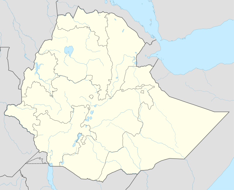 Maimekden Location within Ethiopia | |
| Coordinates: 13°35′N 39°34′E | |
| Country | Ethiopia |
| Region | Tigray |
| Zone | Debub Misraqawi (Southeastern) |
| Elevation | 2,208 m (7,244 ft) |
| Time zone | UTC+3 (EAT) |
Administrative division
In Imperial times, Maimekden used to be the administrative center of the Wenberta woreda, part of the Enderta province. Nowadays, the new Wemberta district has its center in the town of Atsbi and Maimekden is located in the Kilte Awulaelo district with Wukro as its administrative center.
Geology and soils
The following geological formations are present in this locality:[1]
- Agula Shale[2]
- Mekelle Dolerite[3]
- Antalo Limestone
- Quaternary alluvium and freshwater tufa, including a remarkable tufa dam west of the town[4]
The main geomorphic units, with corresponding soil types are:[5]
- Gently rolling Antalo Limestone plateau, holding cliffs and valley bottoms on limestone
- Associated soil types
- Inclusions
- Rock outcrops and very shallow soils (Lithic Leptosol)
- Shallow very stony loamy soil on limestone (Skeletic Calcaric Cambisol)
- Deep dark cracking clays with very good natural fertility, waterlogged during the wet season (Chromic Vertisol, Pellic Vertisol)
- Brown to dark sands and silt loams on alluvium (Vertic Fluvisol, Eutric Fluvisol, Haplic Fluvisol)
- Alluvial plain induced by tufa dam
Roads
In May Mekden, the deviation of the regional highway which passes by Mekelle joins the National Highway 2 again continuing to the north towards Wukro, Freweyni, Idaga Hamus and Adigrat.
References
- Sembroni, A.; Molin, P.; Dramis, F. (2019). Regional geology of the Dogu'a Tembien massif. In: Geo-trekking in Ethiopia's Tropical Mountains — The Dogu'a Tembien District. SpringerNature. ISBN 978-3-030-04954-6.
- Bosellini, A.; Russo, A.; Fantozzi, P.; Assefa, G.; Tadesse, S. (1997). "The Mesozoic succession of the Mekelle Outlier (Tigrai Province, Ethiopia)". Mem. Sci. Geol. 49: 95–116.
- Tefera, M.; Chernet, T.; Haro, W. Geological Map of Ethiopia (1:2,000,000). Addis Ababa, Ethiopia: Ethiopian Institute of Geological Survey.
- Moeyersons, J. and colleagues (2006). "Age and backfill/overfill stratigraphy of two tufa dams, Tigray Highlands, Ethiopia: Evidence for Late Pleistocene and Holocene wet conditions". Palaeogeography, Palaeoclimatology, Palaeoecology. 230 (1–2): 162–178.
- Nyssen, Jan; Tielens, Sander; Gebreyohannes, Tesfamichael; Araya, Tigist; Teka, Kassa; Van De Wauw, Johan; Degeyndt, Karen; Descheemaeker, Katrien; Amare, Kassa; Haile, Mitiku; Zenebe, Amanuel; Munro, Neil; Walraevens, Kristine; Gebrehiwot, Kindeya; Poesen, Jean; Frankl, Amaury; Tsegay, Alemtsehay; Deckers, Jozef (2019). "Understanding spatial patterns of soils for sustainable agriculture in northern Ethiopia's tropical mountains". PLoS ONE. 14 (10): e0224041. doi:10.1371/journal.pone.0224041. PMID 31639144.