Mapiripán Airport
Mapiripán Airport (ICAO: SKMF) is an airport serving the town of Mapiripán, in the Meta Department of Colombia. The runway and town are on the north bank of the Guaviare River, which is locally the border between Meta and Guaviare Departments.
Mapiripán Airport | |||||||||||
|---|---|---|---|---|---|---|---|---|---|---|---|
| Summary | |||||||||||
| Airport type | Public | ||||||||||
| Serves | Mapiripán, Colombia | ||||||||||
| Elevation AMSL | 730 ft / 223 m | ||||||||||
| Coordinates | 2°53′50″N 72°08′27″W | ||||||||||
| Map | |||||||||||
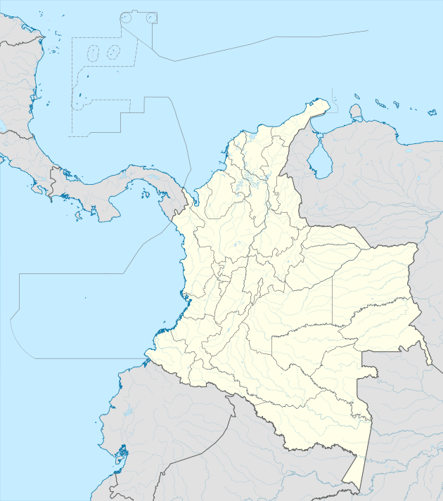 SKIR Location of the airport in Colombia | |||||||||||
| Runways | |||||||||||
| |||||||||||
See also


- Transport in Colombia
- List of airports in Colombia
References
This article is issued from Wikipedia. The text is licensed under Creative Commons - Attribution - Sharealike. Additional terms may apply for the media files.