Mape, Cova Lima
Mape is a village and suco (municipality) in Cova Lima District, East Timor in the southern Lesser Sunda Archipelago of Southeast Asia.[1][2] Administratively, it is part of the Zumalai Subdistrict of Cova Lima District. The suco covers an area of 30.59 km²,[3] and the population was 308 in the 2010 census.[4]
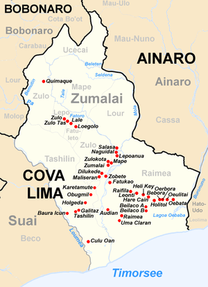
Mape municipality in Zumalai Subdistrict
Notes
- Mape (Approved) at GEOnet Names Server, United States National Geospatial-Intelligence Agency
- Atambua, Indonesia, Sheet SC 51-08 (topographic map, scale 1:250,000)
|format=requires|url=(help), Series U-502, United States Army Map Service, 1963 - "Population Distribution by Administrative Areas, Volume 2" (PDF). Direcção Nacional de Estatística. p. 36. Archived from the original (PDF) on 10 October 2011.
- "Suco Report, Volume 4" (PDF). Direcção Nacional de Estatística. p. 48. Archived from the original (PDF) on 10 October 2011.
This article is issued from Wikipedia. The text is licensed under Creative Commons - Attribution - Sharealike. Additional terms may apply for the media files.