Mankat
Mankat is a large village in Banmauk Township, Katha District, in the Sagaing Region of northern-central Burma. The area is known for its Mankat Forest reserve.
Mankat | |
|---|---|
Village | |
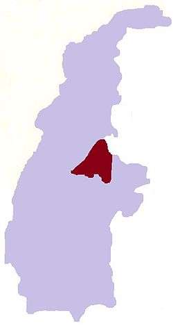
 Mankat Location in Burma | |
| Coordinates: 24°16′20″N 95°50′18″E | |
| Country | |
| Region | Sagaing Region |
| District | Katha District |
| Township | Banmauk Township |
| Time zone | UTC+6.30 (MST) |
History
S. St. R. Korper, an Assistant Superintendent, was responsible for building a 46 miles (74 km) road from Mankat to Nawpawng, according to a 1920 British report.[1] In World War II, Bernard Fergusson, Baron Ballantrae, then a major, passed through Mankat via Bonchaung Gorge with the Black Watch unit of the 77th Indian Infantry Brigade.in March 1943.[2] The Japanese had a base at Mankat, which was bombed by the US along with Mogok on 4 January 1945.[3] During conflict in the village in 1980, four houses were burned down.[4]
Geography
The village lies in the Nam Pang River valley to the south of Banmauk,[5] and is surrounded by Mankat Forest, a protected forest reserve.[6]
References
- "Report on the Administration of the Shan and Karenni States". 1920. p. 78.
- "Transcript of Distinguished Service Order Citation". Chindits.info. Retrieved 15 February 2020.
- "U.S. planes bomb Japanese forward bases in Mogok and Mankat, Burma in 1945". Dissolve.com. Retrieved 15 February 2020.
- "Daily Report: Asia & Pacific, Issues 93-105". Foreign Broadcast Publication Service. 12 May 1980. p. 97.
- Records of the Indian Museum, Volume 30. Indian Museum. 1928. p. 409.
- "General Report". Survey of India. 1927. p. 78.