Manchioneal Airstrip
Manchioneal Airstrip is an airstrip serving the Caribbean coastal town of Manchioneal in the Portland Parish of Jamaica. The airstrip is 1 kilometre (0.62 mi) northwest of Manchioneal.
Manchioneal Airstrip Hectors River Airstrip | |||||||||||
|---|---|---|---|---|---|---|---|---|---|---|---|
| Summary | |||||||||||
| Airport type | Private | ||||||||||
| Serves | Manchioneal, Jamaica | ||||||||||
| Elevation AMSL | 53 ft / 16 m | ||||||||||
| Coordinates | 18°03′17″N 76°17′00″W | ||||||||||
| Map | |||||||||||
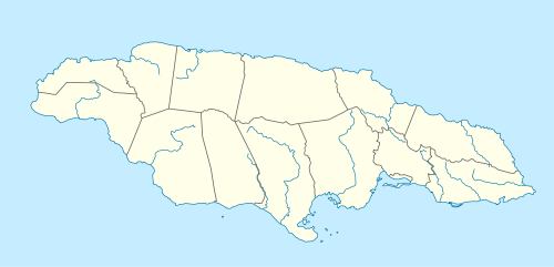 Manchioneal Airstrip Location of the airport in Jamaica | |||||||||||
| Runways | |||||||||||
| |||||||||||
There is gently rising terrain immediately to the northwest. East approach and departure are over the water.
The Manley VOR/DME (Ident: MLY) is located 29.2 nautical miles (54.1 km) west-southwest of the runway.[3]
See also

- Transport in Jamaica
- List of airports in Jamaica
This article is issued from Wikipedia. The text is licensed under Creative Commons - Attribution - Sharealike. Additional terms may apply for the media files.