Maludam
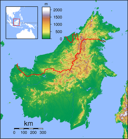
Maludam is a very small town and sub district in Betong Division, Sarawak, Malaysia.[1] It is made up of a small town including some modern longhouses with a few Malay fishing villages nearby.[2] The majority of people are Malays, with some Ibans and Chinese. Maludam was made a district in 1985.[3]
Maludam | |
|---|---|
 Maludam | |
| Coordinates: 1.65°N 111.03333°E | |
| Country | |
| State | |
| Elevation | 1 m (3 ft) |
The main tourist attraction in the area is Maludam National Park.
Maludam is located approximately 78.2 kilometres (49 mi) east of the state capital Kuching. Neighbouring settlements include:
- Melebu 6.7 kilometres (4.2 mi) northeast
- Samarang 8.3 kilometres (5.2 mi) northeast
- Kampung Sungai Meranti 8.3 kilometres (5.2 mi) southwest
- Sapinang 11.1 kilometres (6.9 mi) east
- Kampung Teriso 13.5 kilometres (8.4 mi) south
- Kampung Paloh 16.6 kilometres (10.3 mi) northeast
References
- "Maludam, Malaysia". Geonames. 10 February 1994. Retrieved 27 December 2010.
- "Sarawak Homestay". Retrieved 30 December 2010.
- "Borneo Swiftlets - Local Kuching Swiftlet Farming Enthusiasts: Maludam, Sarawak". 24 December 2010. Retrieved 30 December 2010.
External links
- "Maludam National Park". 5 August 2003. Archived from the original on 25 May 2011. Retrieved 30 December 2010.
Capital: Kuching | |||||||||||
| Topics |
| ||||||||||
| Society |
| ||||||||||
| Administrative divisions |
| ||||||||||
| |||||||||||
This article is issued from Wikipedia. The text is licensed under Creative Commons - Attribution - Sharealike. Additional terms may apply for the media files.