Mała Góra
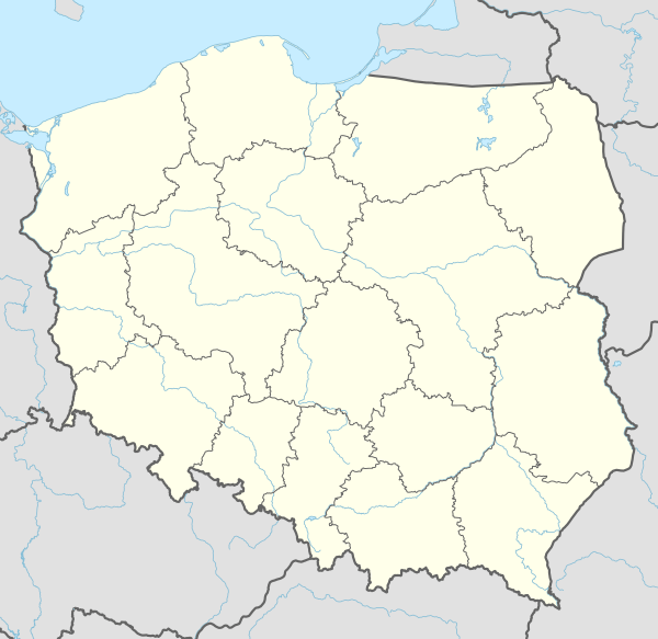
Mała Góra [ˈmawa ˈɡura] (German: Gut Guhrau) is a hamlet in the administrative district of Gmina Niemodlin, within Opole County, Opole Voivodeship, in south-western Poland.[1] It lies approximately 6 kilometres (4 mi) north-west of Niemodlin and 27 km (17 mi) west of the regional capital Opole.
Mała Góra | |
|---|---|
 Mała Góra | |
| Coordinates: 50°40′21″N 17°33′51″E | |
| Country | |
| Voivodeship | Opole |
| County | Opole County |
| Gmina | Gmina Niemodlin |
| Time zone | UTC+1 (CET) |
| • Summer (DST) | UTC+2 (CEST) |
| Area code(s) | +48 77 |
| Car plates | OPO |
Before 1945 the area was part of Germany (see Territorial changes of Poland after World War II).
See also
References
| Town and seat |  | |
|---|---|---|
| Villages | ||
This article is issued from Wikipedia. The text is licensed under Creative Commons - Attribution - Sharealike. Additional terms may apply for the media files.