Lycksele
Lycksele (Swedish: [ˈlʏ̌kːsɛlɛ];[2] Southern Sami: Liksjoe; Ume Sami: Likssjuo) is a locality and the seat of Lycksele Municipality in Västerbotten County, province of Lapland, Sweden with 8,513 inhabitants in 2010.[1]
Lycksele | |
|---|---|
 Late 1970s in Lycksele | |
 Lycksele 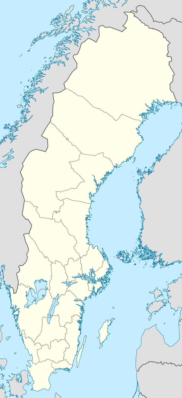 Lycksele | |
| Coordinates: 64°36′N 18°40′E | |
| Country | Sweden |
| Province | Lapland |
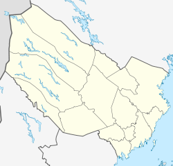
| County | Västerbotten County |
| Municipality | Lycksele Municipality |
| Area | |
| • Total | 8.53 km2 (3.29 sq mi) |
| Population (31 December 2010)[1] | |
| • Total | 8,513 |
| • Density | 998/km2 (2,580/sq mi) |
| Time zone | UTC+1 (CET) |
| • Summer (DST) | UTC+2 (CEST) |
History
Lycksele is the oldest lasting Sami settlement in Swedish Lappland. The first Swedish Sami school, Skytteanska skolan, was built here in 1634.
Lycksele was the first place in Swedish Lappland to be designated a city in 1946, hence its nickname "Lapp-Stockholm". Lycksele is, despite its small population, for historical reasons normally still called a city (stad).
Notable people
- Eva Björklund, politician
- Levi Borgstrom, carver
- Melker Karlsson, ice hockey player
- John Lindgren, cross-country skier
- Figge Norling, actor
- David Rundblad, ice hockey player and Stanley Cup winner
- Maic Sema, football player
- Andreas Wingerli, ice hockey player
- Isak Sjöström, also known as ReactiveGamer | Guardian of Lycksele
Climate
Lycksele has a subarctic climate with short mild summers and long cold and snowy winters. Despite its extremely northern latitude, the climate is relatively mild compared to other places at similar latitude because of the Gulf Stream.[3]
| Climate data for Lycksele (2002–2018 averages; extremes since 1945) | |||||||||||||
|---|---|---|---|---|---|---|---|---|---|---|---|---|---|
| Month | Jan | Feb | Mar | Apr | May | Jun | Jul | Aug | Sep | Oct | Nov | Dec | Year |
| Record high °C (°F) | 9.5 (49.1) |
9.9 (49.8) |
14.7 (58.5) |
20.4 (68.7) |
29.0 (84.2) |
31.9 (89.4) |
33.2 (91.8) |
30.9 (87.6) |
26.2 (79.2) |
21.6 (70.9) |
13.0 (55.4) |
9.2 (48.6) |
33.2 (91.8) |
| Mean maximum °C (°F) | 3.6 (38.5) |
4.9 (40.8) |
8.8 (47.8) |
15.1 (59.2) |
23.7 (74.7) |
26.3 (79.3) |
28.4 (83.1) |
26.4 (79.5) |
20.6 (69.1) |
13.3 (55.9) |
7.2 (45.0) |
4.9 (40.8) |
29.3 (84.7) |
| Average high °C (°F) | −5.9 (21.4) |
−4.3 (24.3) |
1.2 (34.2) |
7.1 (44.8) |
14.2 (57.6) |
18.4 (65.1) |
21.8 (71.2) |
19.3 (66.7) |
13.8 (56.8) |
5.8 (42.4) |
−0.4 (31.3) |
−3.4 (25.9) |
7.3 (45.1) |
| Daily mean °C (°F) | −10.9 (12.4) |
−9.7 (14.5) |
−4.7 (23.5) |
1.6 (34.9) |
7.8 (46.0) |
12.3 (54.1) |
15.7 (60.3) |
13.5 (56.3) |
8.7 (47.7) |
2.0 (35.6) |
−4.0 (24.8) |
−8.0 (17.6) |
2.0 (35.6) |
| Average low °C (°F) | −15.8 (3.6) |
−15.1 (4.8) |
−10.5 (13.1) |
−3.9 (25.0) |
1.3 (34.3) |
6.2 (43.2) |
9.5 (49.1) |
7.7 (45.9) |
3.6 (38.5) |
−1.9 (28.6) |
−7.5 (18.5) |
−12.6 (9.3) |
−3.2 (26.2) |
| Mean minimum °C (°F) | −32.1 (−25.8) |
−30.9 (−23.6) |
−25.6 (−14.1) |
−13.4 (7.9) |
−5.7 (21.7) |
−0.9 (30.4) |
2.0 (35.6) |
−0.3 (31.5) |
−3.8 (25.2) |
−13.1 (8.4) |
−20.2 (−4.4) |
−27.4 (−17.3) |
−34.9 (−30.8) |
| Record low °C (°F) | −43.0 (−45.4) |
−41.0 (−41.8) |
−37.2 (−35.0) |
−25.6 (−14.1) |
−12.3 (9.9) |
−4.2 (24.4) |
−1.1 (30.0) |
−4.6 (23.7) |
−8.9 (16.0) |
−25.0 (−13.0) |
−33.2 (−27.8) |
−39.1 (−38.4) |
−43.0 (−45.4) |
| Average precipitation mm (inches) | 28.7 (1.13) |
21.6 (0.85) |
19.4 (0.76) |
25.6 (1.01) |
37.3 (1.47) |
53.2 (2.09) |
74.8 (2.94) |
74.2 (2.92) |
53.6 (2.11) |
41.3 (1.63) |
31.9 (1.26) |
38.7 (1.52) |
500.3 (19.69) |
| Source 1: SMHI Open Data[4] | |||||||||||||
| Source 2: SMHI climate data 2002–2018[5] | |||||||||||||
See also
- Blue Highway, an international tourist route
References
| Wikimedia Commons has media related to Lycksele. |
| Wikivoyage has a travel guide for Lycksele. |
- "Tätorternas landareal, folkmängd och invånare per km2 2005 och 2010" (in Swedish). Statistics Sweden. 14 December 2011. Archived from the original on 27 January 2012. Retrieved 10 January 2012.
- Jöran Sahlgren; Gösta Bergman (1979). Svenska ortnamn med uttalsuppgifter (in Swedish). p. 16.
- weather.msn.com
- "SMHI Open Data" (in Swedish). Swedish Meteorological and Hydrological Institute.
- "SMHI climate data 2002–2018" (in Swedish). SMHI. 23 April 2019.
Municipalities and seats of Västerbotten County | ||
|---|---|---|
| Municipalities | ||
| Municipal seats | ||
| Authority control |
|
|---|