Long Tungan
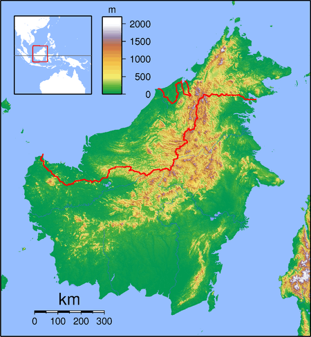
Long Tungan (also known as Kenyah Jamok) is a settlement in the Marudi division of Sarawak, Malaysia.[1][2] It lies approximately 564.4 kilometres (351 mi) east-north-east of the state capital Kuching.
Long Tungan | |
|---|---|
 Long Tungan | |
| Coordinates: 3.13333°N 115.16667°E | |
| Country | |
| State | |
| Administrative Division | Marudi |
| Elevation | 1,465 m (4,806 ft) |
The people are from the Kenyah Jamok tribe.[3] The village is located in the Upper Baram region between Lio Matoh (upstream) and Long Semiyang (downstream).[4]
Neighbouring settlements include:
- Lio Matoh 8.3 kilometres (5.2 mi) northeast
- Long Selaan 10.8 kilometres (6.7 mi) southwest
- Long Moh 13.4 kilometres (8.3 mi) southwest
- Long Metapa 15.8 kilometres (9.8 mi) east
- Long Salt 19.2 kilometres (11.9 mi) north
- Long Banga 25.2 kilometres (15.7 mi) east
- Long Taan 29.3 kilometres (18.2 mi) southwest
- Long Peluan 30.4 kilometres (18.9 mi) northeast
References
- M. Mohizah, S. Julia and W. K. Soh (2006). A Sarawak Gazetteer (PDF). Kuala Lumpur: Sarawak Forestry Department Malaysia and Forest Research Institute Malaysia. ISBN 983-2181-86-0. OCLC 85818866. Archived from the original (PDF) on 2011-07-22. Retrieved 2011-01-01.
- "Long Tungan, Malaysia". Geonames. 2010-08-09. Retrieved 2010-12-27.
- "The Long Walk". 2011-01-12. Retrieved 2011-02-11.
- "Lepo' Jamok: KELUNAN LEPO' JAMOK LONG TUNGAN". 2010-12-07. Retrieved 2011-02-11.
Capital: Kuching | |||||||||||
| Topics |
| ||||||||||
| Society |
| ||||||||||
| Administrative divisions |
| ||||||||||
| |||||||||||
This article is issued from Wikipedia. The text is licensed under Creative Commons - Attribution - Sharealike. Additional terms may apply for the media files.