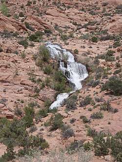
Little Dolores River
Little Dolores River is a 41.1-mile-long (66.1 km)[2] tributary that flows into the Colorado River in Grand County, Utah from a source in Mesa County, Colorado.
| Little Dolores River[1] | |
|---|---|
 | |
| Physical characteristics | |
| Source | |
| ⁃ coordinates | 39°52′33″N 108°48′04″W |
| Mouth | |
⁃ location | Confluence with Colorado River |
⁃ coordinates | 39°00′54″N 109°08′44″W |
⁃ elevation | 4,252 ft (1,296 m) |
| Basin features | |
| Progression | Colorado |
References
- "Little Dolores River". Geographic Names Information System. United States Geological Survey. Retrieved 2011-01-28.
- U.S. Geological Survey. National Hydrography Dataset high-resolution flowline data. The National Map Archived 2012-04-05 at WebCite, accessed March 18, 2011
This article is issued from Wikipedia. The text is licensed under Creative Commons - Attribution - Sharealike. Additional terms may apply for the media files.