List of mountains and hills of Kitsap County, Washington
This is a list of mountains and hills of Kitsap County, Washington by elevation.
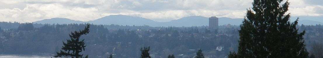
The county's highest peaks are in the Blue Hills, in the Wildcat Lake or Bremerton West USGS quadrangle. Inclusion is defined here as within 2 miles of Green Mountain or Gold Mountain, as the boundaries are not strictly defined by authorities.
| Rank | Name | Range | Elevation (ft) | Prominence (ft) | Parent (proximate) | Isolation (mi) | Coordinates | Notes |
|---|---|---|---|---|---|---|---|---|
| 1 | Gold Mountain | Blue Hills | 1761 | 1531 | Olympic Mountains foothills Green Hill, Jefferson County |
13.24 | 47°32′56″N 122°47′13″W | Kitsap County high point |
| 2 | Green Mountain | Blue Hills | 1710 | 860 | Gold Mountain | 1.35 | 47°33′48″N 122°48′25″W | |
| 3 | Kitsap Lookout | Blue Hills | 1370 | 600 | Gold Mountain | 1.92 | 47°32′38″N 122°44′46″W | Unnamed at Lists of John, named at Peakbagger[1] |
| 4 | Peak 1330 | Blue Hills | 1330 | 480 | Gold Mountain | 1.67 | 47°34′09″N 122°46′04″W | Listed as Peak 1320 at Peakbagger |
| 5 | Peak 1291 | Blue Hills | 1291 | 401 | Green Mountain | 1.95 | 47°35′21″N 122°48′00″W | |
| 6 | Peak 1107 | Blue Hills | 1107 | 317 | Peak 1291 | 0.86 | 47.5872°N 122.8183°W | |
| 7 | Peak 955 | Blue Hills | 955 | 305 | Green Mountain | 1.33 | 47.5508°N 122.8322°W | At south end of Lake Tahuya |
| 8 | Peak 730 | Blue Hills | 730 | 480 | Kitsap Lookout | 1.95 | 47°32′53″N 122°42′18″W | Inside Bremerton city limits Listed as Peak 720 at Peakbagger |
| 9 | Peak 510 | 510 | 340 | Peak 530 | 6.07 | 47.8190°N 122.6118°W | 1 1/2 miles east of Kitsap Memorial State Park | |
| 9 (tie) | Unnamed hill | c. 510 | Peak 530? | 47.80122°N 122.61409°W | USGS Port Gamble, WA quad shows 500-foot contour approx. 1.5 mi. east of Breidablick | |||
| 10 | Peak 490 | 490 | 380 | Peak 730 | 5.55 | 47.6027°N 122.6179°W | Near Illahee Preserve | |
| 11 | Peak 450 (north) | 450 | 360 | Peak 510 | 4.81 | 47.8200°N 122.5083°W | Above Kingston ferry terminal | |
| 12 | Peak 450 (south) | 450 | 300 | Vashon Island high point | 3.88 | 47.4923°N 122.5492°W | Near Banner Forest Park | |
| 13 | Toe Jam Hill* | Bainbridge Island | 425 | 425 | Peak 490 | 6.66 | 47°35′03″N 122°30′08″W | Bainbridge Island high point |
| 14 | Peak 410 | 410 | 380 | Peak 450 | 4.10 | 47.7607°N 122.5112°W | Inside Port Madison Indian Reservation | |
References
- John Kirk, "Kitsap County WA peaks list", Lists of John Lists of Peaks, Colorado
- Greg Slayden (2004), Peakbagger: Kitsap County all peaks, Seattle: peakbagger.com
- Greg Slayden (2004), Kitsap Lookout, peakbagger.com
- Greg Slayden (2004), Toe Jam Hill, peakbagger.com
This article is issued from Wikipedia. The text is licensed under Creative Commons - Attribution - Sharealike. Additional terms may apply for the media files.