List of West Midlands Metro tram stops

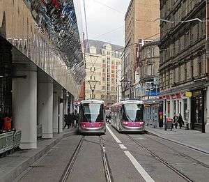
The West Midlands Metro is a light-rail/tram line in the West Midlands of England operating between Birmingham and Wolverhampton via West Bromwich and Wednesbury. It is owned and operated by Transport for West Midlands.

A Midland Metro T-69 tram on the former Birmingham Snow Hill to Wolverhampton Low Level Line
The route of Line One, shown in red

It opened on 30 May 1999, mostly using the former disused Birmingham Snow Hill to Wolverhampton Low Level Line. An extension into Birmingham City Centre was approved in 2012, and is now partially operational.
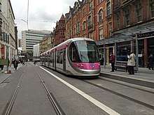
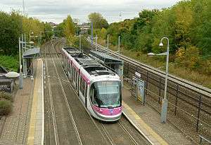
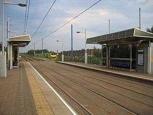
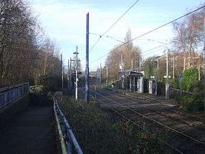
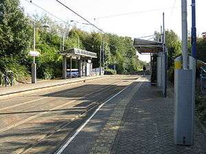
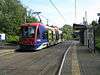
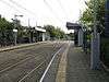
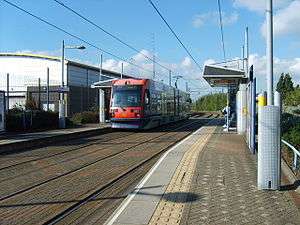
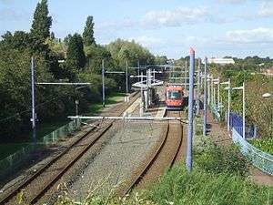
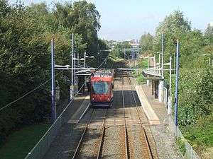
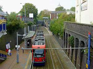
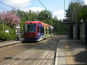
Existing stops

Line 1

Station Photo Co-ordinates
(Links to map resources)
Notes Usage
Library 52.478680, -1.908393 Near to Birmingham city Library. Current terminus.
Town Hall 52.479235, -1.903370 Near to Birmingham Town Hall and Victoria Square.
Grand Central 52.4798°N 1.8972°W / 52.4798; -1.8972 interchanges with Birmingham New Street mainline station.
Corporation Street 52.4798°N 1.8972°W / 52.4798; -1.8972
Bull Street 52.481995°N 1.896472°W / 52.481995; -1.896472
St Chads (formerly Snow Hill) 52.48450°N 1.90032°W / 52.48450; -1.90032 Connection with National Rail 8581
St Paul's 52.48716°N 1.90470°W / 52.48716; -1.90470
Jewellery Quarter 52.48990°N 1.91421°W / 52.48990; -1.91421 Connection with National Rail
Soho Benson Road 52.49697°N 1.93092°W / 52.49697; -1.93092
Winson Green Outer Circle 52.49894°N 1.93927°W / 52.49894; -1.93927
Handsworth Booth Street 52.50210°N 1.95229°W / 52.50210; -1.95229
The Hawthorns 52.50582°N 1.96506°W / 52.50582; -1.96506 Connection with National Rail
Kenrick Park 52.50868°N 1.98251°W / 52.50868; -1.98251
Trinity Way 52.51187°N 1.98823°W / 52.51187; -1.98823
West Bromwich Central 52.51652°N 1.99466°W / 52.51652; -1.99466
Lodge Road West Bromwich Town Hall 52.51865°N 1.99987°W / 52.51865; -1.99987 439
Dartmouth Street 52.52046°N 2.00450°W / 52.52046; -2.00450
Dudley Street Guns Village 52.52512°N 2.00851°W / 52.52512; -2.00851
Black Lake 52.53096°N 2.01114°W / 52.53096; -2.01114
Wednesbury Great Western Street 52.54892°N 2.02563°W / 52.54892; -2.02563
Wednesbury Parkway 52.54968°N 2.03202°W / 52.54968; -2.03202
Bradley Lane 52.55603°N 2.05784°W / 52.55603; -2.05784
Loxdale 52.56007°N 2.06589°W / 52.56007; -2.06589
Bilston Central 52.56546°N 2.07470°W / 52.56546; -2.07470
The Crescent 52.56795°N 2.08086°W / 52.56795; -2.08086
Priestfield 52.57191°N 2.09798°W / 52.57191; -2.09798
The Royal 52.58107°N 2.11711°W / 52.58107; -2.11711
Wolverhampton St George's 52.58401°N 2.12451°W / 52.58401; -2.12451 Terminus 6167

Proposed future stops

Line 1 extension

Wolverhampton Extension

Wolverhampton St. George's > Piper's Row (serves Wolverhampton Bus Station) > Wolverhampton Railway Station (serves Wolverhampton Railway Station (futurely Wolverhampton Interchange for HS2))

Edgbaston Extension

Town Hall (serves Birmingham Town Hall, the ICC and Birmingham Symphony Hall) > Library (serves Centenary Square) > Brindley Place (serves the National Sealife Centre, Arena Birmingham and Birmingham Canals) > Five Ways (serves Five Ways Bus Station and Five Ways) > Edgbaston Terminal (serves the Edgbaston area).

Brierley Hill Extension

Wednesbury Great Western Street (serves West Midlands Metro depot) > Dudley Port > Birmingham New Road (serves Black Country Living Museum) > Dudley Zoo (serves Dudley Zoological Museum) > Dudley Town Centre > Merry Hill (serves Merry Hill Shopping Centre) > Brierley Hill.

References

    This article is issued from Wikipedia. The text is licensed under Creative Commons - Attribution - Sharealike. Additional terms may apply for the media files.