Lichinga
Lichinga is the capital city of Niassa Province of Mozambique. It lies on the Lichinga Plateau at an altitude of 1360 metres, east of Lake Niassa (Lake Malawi). The town was founded as Vila Cabral as a farming and military settlement. It is served by Lichinga Airport.
Lichinga | |
|---|---|
 Lichinga | |
| Coordinates: 13°18′46″S 35°14′26″E | |
| Country | |
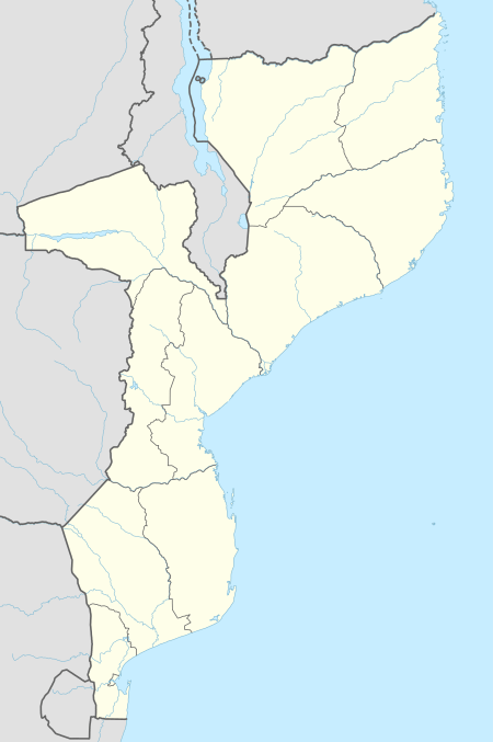
| Provinces | Niassa Province |
| Area | |
| • Total | 280 km2 (110 sq mi) |
| Elevation | 1,398 m (4,587 ft) |
| Population (2017 census) | |
| • Total | 213,361 |
| • Density | 760/km2 (2,000/sq mi) |
| Time zone | UTC+2 (CAT) |
| Climate | Cwb |
History
Portuguese rule
Founded by the Portuguese in 1931 as Vila Cabral,[1] the town was designed to become a fast growth urban centre, its streets and avenues paying attention to a projected future growth. Vila Cabral was upgraded to city status in 1962. In the early 1960s its population was 27,000 inhabitants; by 1970 it had 36,715. The city developed as an agriculture and colonial service centre until the independence of Mozambique from Portugal in 1975. In addition, the town's economy included forestry-based activities and was surrounded by a pine tree plantation, of which most has been felled in recent years.
After independence from Portugal
After independence the new government renamed the city Lichinga. The effects of 17 years of civil war (1975-1992) spread famine and disease in Mozambique resulting in many deaths and refugees in the region around Lichinga.
Climate
Owing to its high altitude location the town experiences a moderate subtropical highland climate (Cwb, according to the Köppen climate classification), with cool weather in the dry season (May to September) and average temperatures of 15.5 oC in July. Summertime is October to April with the hottest weather in November: average temperature 22 oC. This is also the season of heavy rain especially December to March. The annual rainfall is 1,171 mm.
| Climate data for Lichinga | |||||||||||||
|---|---|---|---|---|---|---|---|---|---|---|---|---|---|
| Month | Jan | Feb | Mar | Apr | May | Jun | Jul | Aug | Sep | Oct | Nov | Dec | Year |
| Record high °C (°F) | 29.2 (84.6) |
28.2 (82.8) |
28.0 (82.4) |
27.1 (80.8) |
27.2 (81.0) |
26.5 (79.7) |
25.7 (78.3) |
27.8 (82.0) |
30.0 (86.0) |
32.7 (90.9) |
32.3 (90.1) |
32.0 (89.6) |
32.7 (90.9) |
| Average high °C (°F) | 24.5 (76.1) |
24.6 (76.3) |
24.5 (76.1) |
23.8 (74.8) |
22.6 (72.7) |
21.0 (69.8) |
20.4 (68.7) |
22.2 (72.0) |
25.1 (77.2) |
27.1 (80.8) |
26.6 (79.9) |
24.9 (76.8) |
23.9 (75.0) |
| Daily mean °C (°F) | 19.6 (67.3) |
19.8 (67.6) |
19.4 (66.9) |
18.6 (65.5) |
16.9 (62.4) |
15.0 (59.0) |
14.7 (58.5) |
16.2 (61.2) |
18.7 (65.7) |
20.7 (69.3) |
20.7 (69.3) |
19.8 (67.6) |
18.4 (65.1) |
| Average low °C (°F) | 16.1 (61.0) |
16.1 (61.0) |
15.8 (60.4) |
14.6 (58.3) |
12.1 (53.8) |
9.8 (49.6) |
9.4 (48.9) |
10.3 (50.5) |
12.4 (54.3) |
14.8 (58.6) |
15.9 (60.6) |
16.1 (61.0) |
13.6 (56.5) |
| Record low °C (°F) | 12.0 (53.6) |
13.6 (56.5) |
11.4 (52.5) |
8.2 (46.8) |
6.9 (44.4) |
3.8 (38.8) |
3.3 (37.9) |
3.2 (37.8) |
7.2 (45.0) |
9.6 (49.3) |
10.2 (50.4) |
12.0 (53.6) |
3.2 (37.8) |
| Average precipitation mm (inches) | 222.5 (8.76) |
224.1 (8.82) |
201.2 (7.92) |
91.9 (3.62) |
24.6 (0.97) |
2.8 (0.11) |
3.6 (0.14) |
1.0 (0.04) |
3.4 (0.13) |
19.4 (0.76) |
103.0 (4.06) |
234.6 (9.24) |
1,132.1 (44.57) |
| Average precipitation days (≥ 1.0 mm) | 19.4 | 16.9 | 17.8 | 9.8 | 2.8 | 0.7 | 0.9 | 0.2 | 0.6 | 2.6 | 9.1 | 17.8 | 98.6 |
| Average relative humidity (%) | 87 | 86 | 85 | 82 | 76 | 73 | 67 | 63 | 57 | 52 | 65 | 82 | 73 |
| Mean monthly sunshine hours | 130.2 | 130.0 | 161.2 | 183.0 | 232.5 | 222.0 | 213.9 | 241.8 | 246.0 | 279.0 | 201.0 | 139.5 | 2,380.1 |
| Mean daily sunshine hours | 4.2 | 4.6 | 5.2 | 6.1 | 7.5 | 7.4 | 6.9 | 7.8 | 8.2 | 9.0 | 6.7 | 4.5 | 6.5 |
| Source: Deutscher Wetterdienst[2] | |||||||||||||
Demographics
There are a minimum estimated 450,000 Yao people living in Mozambique. They largely occupy the eastern and northern part of the Niassa province and form about 40% of the population of Lichinga.
| Year | Population[3] |
|---|---|
| 1997 census | 85,758 |
| 2007 census | 142,331 |
| 2017 census | 213,361 |
Transport
A railway branch line from the port of Nacala terminates in this town, it has been renovated and receives services 3 times per week. Transport into and out of the city is either by private car or the public chapa, o]r minibus system. Air service is provided by Lichinga Airport with flights to Nampula and Maputo through L.A.M. Or Ethiopian Airlines.
References
- www.niassatourism.com, Retrieved on June 14, 2008
- "Klimatafel von Lichinga (Vila Cabral), Provinz Niassa / Mosambik" (PDF). Baseline climate means (1961-1990) from stations all over the world (in German). Deutscher Wetterdienst. Retrieved April 19, 2017.
- "Mozambique: largest cities and towns and statistics of their population". World Gazetteer. Archived from the original on December 31, 2008. Retrieved 2008-06-18.