Liberty Avenue (New York City)
Liberty Avenue is an 8-mile (13 km) long west-east avenue in Brooklyn and Queens, New York City. It is bidirectional for most of its length, running between Mother Gaston Boulevard in Brooklyn in the west and Farmers Boulevard in Queens in the east.
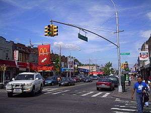 At Lefferts Boulevard | |
| Owner | City of New York |
|---|---|
| Maintained by | NYCDOT |
| Length | 7.9 mi[1] (12.7 km) |
| Location | Brooklyn and Queens, New York City, New York, United States |
| Nearest metro station | Fulton Street Line |
| West end | Mother Gaston Boulevard in Brownsville |
| Major junctions | |
| East end | Farmers Boulevard in St. Albans |
Liberty Avenue is known as "Little India Guyana-Trinidad and Tobago" because it mostly includes Indian, Indo-Guyanese, Indo-Trinidadian and Tobagonian, and Indo-Caribbean cultures and people there.[2][3]
Transportation
The IND Fulton Street Line (A train) runs above the avenue between 80th Street and Lefferts Boulevard. Also, there is a station on the IND Fulton Street Line named Liberty Avenue (A and C trains).
The Q83 and Q112 buses serve the street in Queens; no buses run along it in Brooklyn.[4][5] One can also get a Q10 bus from JFK Terminal 5 to reach here in 30 min.
References
- Google (January 14, 2017). "Liberty Avenue" (Map). Google Maps. Google. Retrieved January 14, 2017.
- Cavanaugh, Ray (2014-10-09). "Little Guyana, an Indo-Guyanese enclave in Queens". Washington Post. ISSN 0190-8286. Retrieved 2018-02-28.
- "Fearing the ICEman in Little Guyana". Queens Chronicle. Retrieved 2018-02-28.
- Q83 bus map
- Q112 bus map