Lamluda
Lamluda is a village in the Jebel Akhdar region of Libya. It's located 40 km (25 mi) east of Bayda.
Lamluda لملودة | |
|---|---|
Village | |
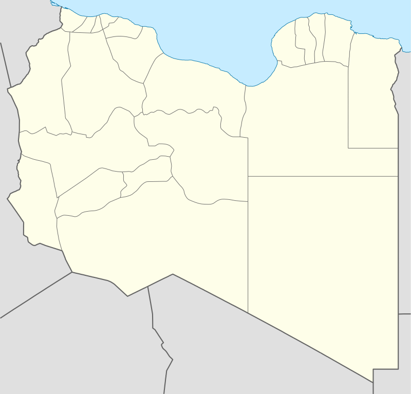 Lamluda Location in Libya | |
| Coordinates: 32°46′44″N 22°08′35″E | |
| Country | |
| Region | Cyrenaica |
| District | Derna |
| Time zone | UTC+2 (EET) |
Lamluda is on the cross-roads of several roads in northern Cyrenaica:
- It's connected with Marj by two roads, the northern one (through Bayda) is a part of the Libyan Coastal Highway; the southern one (through Marawa) is 143 km (89 mi) long.
- It's connected with Martuba by two roads, the northern one (through Derna) is a part of the Libyan Coastal Highway; the southern one is the desert one.
| Capital | ||
|---|---|---|
| Towns and villages | ||
This article is issued from Wikipedia. The text is licensed under Creative Commons - Attribution - Sharealike. Additional terms may apply for the media files.